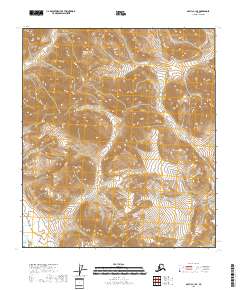
2018 Map of Arctic C-1 SE
USGS Topo · Published 2018About this map
North Slope Borough land within the Brooks Range dominates this 2018 survey, where the landscape is defined entirely by the intricate drainage patterns and steep relief of the Arctic wilderness. The terrain is marked by a complex network of unnamed ridges and valleys, with elevations rising from several hundred feet to over 5,000 feet within a short distance. This map serves as a detailed record of the physical geography before any modern infrastructure was established in this specific sector. It provides a clear view of the natural watercourses that feed into the larger North Slope systems, illustrating the primitive, untouched state of the region's hydrography as documented by the North Slope Borough boundary lines and U.S. Geological Survey elevation data.
Find a feature on this map
1 named feature on this map. Tap any name to fly to it.
Don’t see what you’re looking for? This feature index may not catch every label — zoom into the map to look around manually.
Map Details
Editions of this 2018 Arctic C-1 SE Map
This is the sole edition of this map. No revisions or reprints were ever made.
Other maps of this area

1951 · Arctic
USGS Topo · 1:250,000

1951 · Table Mountain
USGS Topo · 1:250,000

1956 · Table Mountain
USGS Topo · 1:250,000

1956 · Arctic
USGS Topo · 1:250,000

1964 · Table Mountain
USGS Topo · 1:250,000
1972 · Table Mountain B-5
USGS Topo · 1:63,360
1983 · Arctic C-1
USGS Topo · 1:63,360
1983 · Table Mountain C-5
USGS Topo · 1:63,360
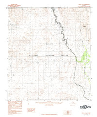
1983 · Arctic B-1
USGS Topo · 1:63,360
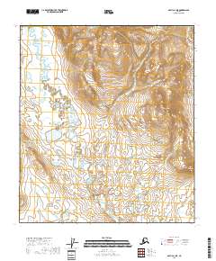
2018 · Arctic B-1 NE
USGS Topo · 1:25,000