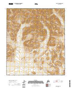
2018 Map of Arctic B-2 NE
USGS Topo · Published 2018About this map
Koness River meanders through the central and southern portions of this remote Alaskan terrain within the Yukon-Koyukuk Census Area. The landscape is defined by its dramatic relief and absence of human infrastructure, with no roads or buildings recorded during this 2018 survey. The topography is meticulously detailed through contour intervals that trace the steep drainages and high ridges of the Arctic region. This map serves as a primary record of the natural hydrology and land divisions, specifically delineating t11s r31e, t11s r32e, t12s r31e, and t12s r32e. It highlights the undisturbed character of the Brooks Range foothills, where the primary geographical landmarks are the watercourses and the relief of the land itself.
Find a feature on this map
6 named features on this map. Tap any name to fly to it.
Don’t see what you’re looking for? This feature index may not catch every label — zoom into the map to look around manually.
Map Details
Editions of this 2018 Arctic B-2 NE Map
This is the sole edition of this map. No revisions or reprints were ever made.
Other maps of this area

1951 · Arctic
USGS Topo · 1:250,000

1956 · Arctic
USGS Topo · 1:250,000
1983 · Arctic C-1
USGS Topo · 1:63,360

1983 · Arctic B-2
USGS Topo · 1:63,360

1983 · Arctic C-2
USGS Topo · 1:63,360
1983 · Arctic B-1
USGS Topo · 1:63,360
2018 · Arctic B-1 SW
USGS Topo · 1:25,000
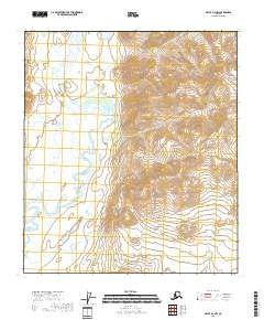
2018 · Arctic B-2 NW
USGS Topo · 1:25,000
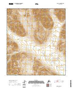
2018 · Arctic C-1 SW
USGS Topo · 1:25,000
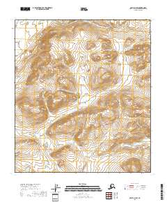
2018 · Arctic B-2 SW
USGS Topo · 1:25,000