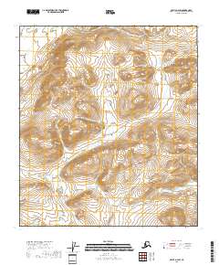
2018 Map of Arctic B-2 SW
USGS Topo · Published 2018About this map
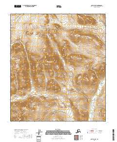
Public Land Survey System boundaries define the organization of this interior Alaska landscape, positioned within the Yukon-Koyukuk Census Area. This 2018 survey emphasizes the geometric structure of the wilderness through township and range designations, including T13s R31e and T12s R31e. The map provides a detailed view of the high-altitude terrain, where steep contour intervals reveal a complex network of ridges and drainages. While the area lacks named settlements or developed infrastructure, the precise boundary markers for T13s R30e and T14s R31e serve as essential references for land management and navigation in this undeveloped region. The data reflects a modern era of mapping that relies on SPOT imagery and National Elevation Dataset contours to capture the physical geography of the Alaskan north.
Find a feature on this map
6 named features on this map. Tap any name to fly to it.
Don’t see what you’re looking for? This feature index may not catch every label — zoom into the map to look around manually.
Map Details
Editions of this 2018 Arctic B-2 SW Map
This is the sole edition of this map. No revisions or reprints were ever made.
Other maps of this area

1951 · Arctic
USGS Topo · 1:250,000

1956 · Arctic
USGS Topo · 1:250,000

1972 · Arctic A-3
USGS Topo · 1:63,360

1972 · Arctic A-2
USGS Topo · 1:63,360

1983 · Arctic B-2
USGS Topo · 1:63,360

1983 · Arctic B-3
USGS Topo · 1:63,360
2018 · Arctic A-2 NW
USGS Topo · 1:25,000
2018 · Arctic B-2 NW
USGS Topo · 1:25,000
2018 · Arctic B-2 NE
USGS Topo · 1:25,000
2018 · Arctic B-2 SE
USGS Topo · 1:25,000