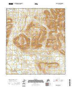
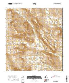
2018 Map of Arctic A-2 NW
USGS Topo · Published 2018About this map
Old John Mtn and Titus Mtn dominate the northern Alaskan landscape in this survey of the Yukon-Koyukuk Census Area. The terrain is defined by a series of prominent peaks, including Signal Mtn, Vorzul Mtn, and Swan Mtn, which overlook a network of drainage basins and glacial lakes. Tritt Creek (also labeled as Tritt Cr) flows through the western portion of the quadrangle, collecting from the high country before passing near Island Lake and Cache Lake. These water bodies and the winding course of Titus Cr suggest a landscape shaped by significant seasonal runoff and permafrost dynamics. The map documents the vast, uninhabited character of the region as it existed in the early 21st century, providing an essential record of the physical geography of this remote interior wilderness.
Find a feature on this map
15 named features on this map. Tap any name to fly to it.
Don’t see what you’re looking for? This feature index may not catch every label — zoom into the map to look around manually.
Map Details
Editions of this 2018 Arctic A-2 NW Map
This is the sole edition of this map. No revisions or reprints were ever made.
Other maps of this area

1951 · Arctic
USGS Topo · 1:250,000

1956 · Arctic
USGS Topo · 1:250,000

1972 · Arctic A-3
USGS Topo · 1:63,360

1972 · Arctic A-2
USGS Topo · 1:63,360

1983 · Arctic B-2
USGS Topo · 1:63,360

1983 · Arctic B-3
USGS Topo · 1:63,360
2018 · Arctic A-2 SW
USGS Topo · 1:25,000
2018 · Arctic B-2 SW
USGS Topo · 1:25,000
2018 · Arctic B-2 SE
USGS Topo · 1:25,000
2018 · Arctic A-2 SE
USGS Topo · 1:25,000