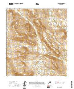
2018 Map of Arctic A-2 SE
USGS Topo · Published 2018About this map
Peter John Mtn rises above a wilderness landscape in the Yukon-Koyukuk region, anchoring a terrain defined by the wandering paths of Titus Cr and the Koness River. This 2018 survey illustrates a remote interior watershed where high-elevation landforms overlook the low-lying waters of Old Man Lake. The map details the intricate drainage patterns of the north, where small creeks traverse multiple township boundaries including t16s r32e and t15s r32e. Unlike maps of developed regions, this sheet focuses on the physical geography of the Brooks Range foothills, providing a clear record of the natural hydrology and topographical relief that dictate movement through this corner of Alaska.
Find a feature on this map
13 named features on this map. Tap any name to fly to it.
Don’t see what you’re looking for? This feature index may not catch every label — zoom into the map to look around manually.
Map Details
Editions of this 2018 Arctic A-2 SE Map
This is the sole edition of this map. No revisions or reprints were ever made.
Other maps of this area

1951 · Christian
USGS Topo · 1:250,000

1951 · Arctic
USGS Topo · 1:250,000

1956 · Arctic
USGS Topo · 1:250,000

1956 · Christian
USGS Topo · 1:250,000
1972 · Arctic A-1
USGS Topo · 1:63,360
1972 · Christian D-2
USGS Topo · 1:63,360

1972 · Arctic A-2
USGS Topo · 1:63,360
2018 · Arctic A-2 NW
USGS Topo · 1:25,000
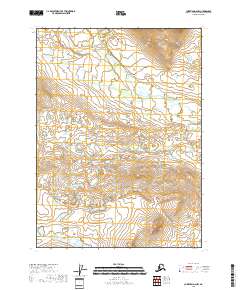
2018 · Christian D-2 NW
USGS Topo · 1:25,000
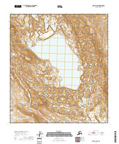
2018 · Arctic A-2 SW
USGS Topo · 1:25,000