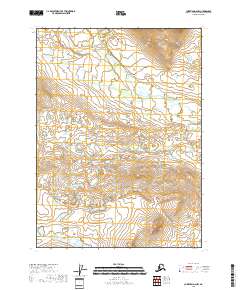
2018 Map of Christian D-2 NW
USGS Topo · Published 2018About this map
Vanticlese Cr meanders across this interior Alaskan landscape, providing a rare named geographic marker in an otherwise remote wilderness within the Yukon-Koyukuk region. The terrain is defined by the Public Land Survey System grid of the early twenty-first century, specifically covering portions of t37n r12e, t37n r13e, and t36n r12e. The drainage patterns shown indicate a sub-arctic watershed where small water bodies and seasonal flows dominate the high latitudes. This survey emphasizes the natural topography and hydrologic features of the northern interior, largely undisturbed by infrastructure or permanent settlements.
Find a feature on this map
7 named features on this map. Tap any name to fly to it.
Don’t see what you’re looking for? This feature index may not catch every label — zoom into the map to look around manually.
Map Details
Editions of this 2018 Christian D-2 NW Map
This is the sole edition of this map. No revisions or reprints were ever made.
Other maps of this area

1951 · Christian
USGS Topo · 1:250,000

1951 · Arctic
USGS Topo · 1:250,000

1956 · Arctic
USGS Topo · 1:250,000

1956 · Christian
USGS Topo · 1:250,000
1972 · Christian D-2
USGS Topo · 1:63,360
1972 · Christian D-3
USGS Topo · 1:63,360

1972 · Arctic A-2
USGS Topo · 1:63,360
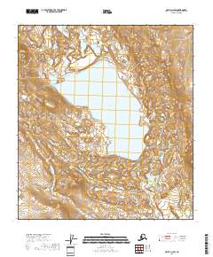
2018 · Arctic A-2 SW
USGS Topo · 1:25,000
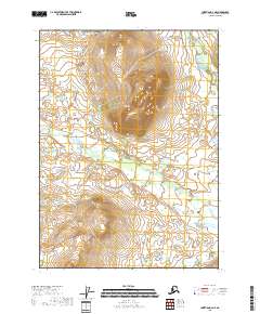
2018 · Christian D-2 NE
USGS Topo · 1:25,000
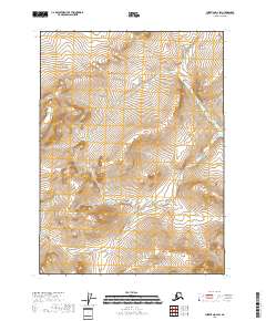
2018 · Christian D-2 SW
USGS Topo · 1:25,000