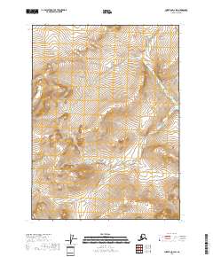
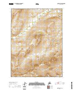
2018 Map of Christian D-2 SW
USGS Topo · Published 2018About this map
The Christian River watershed and its surrounding wetlands define this landscape in the northern reaches of the Yukon-Koyukuk region. Remote and defined by its complex drainage patterns, the area features the vital corridor of the Teedrinjik River and the meandering Hodzana River. Local geography centers on substantial bodies of water such as Old John Lake and Vantre Lake, which serve as significant landmarks in an otherwise difficult-to-navigate wilderness. The presence of Venetie Landing indicates the historical importance of river access for movement and local activity. This survey documents the natural hydrology and topographical relief of a region where water systems dictate the paths of travel and the locations of seasonal outposts.
Find a feature on this map
4 named features on this map. Tap any name to fly to it.
Don’t see what you’re looking for? This feature index may not catch every label — zoom into the map to look around manually.
Map Details
Editions of this 2018 Christian D-2 SW Map
This is the sole edition of this map. No revisions or reprints were ever made.
Other maps of this area

1951 · Christian
USGS Topo · 1:250,000

1956 · Christian
USGS Topo · 1:250,000
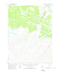
1972 · Christian D-2
USGS Topo · 1:63,360
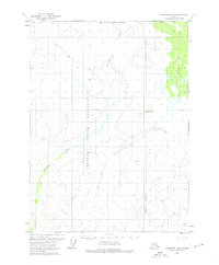
1972 · Christian D-3
USGS Topo · 1:63,360
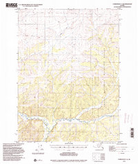
1972 · Christian C-3
USGS Topo · 1:63,360
1983 · Christian C-3
USGS Topo · 1:63,360
1983 · Christian C-2
USGS Topo · 1:63,360
2018 · Christian D-2 NW
USGS Topo · 1:25,000
2018 · Christian D-2 NE
USGS Topo · 1:25,000
2018 · Christian D-2 SE
USGS Topo · 1:25,000