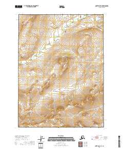
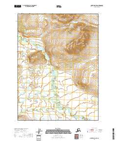
2018 Map of Christian D-2 SE
USGS Topo · Published 2018About this map
The Yukon-Koyukuk Census Area in northern Alaska is represented here primarily through its raw topography and the legal framework of the Public Land Survey System. The map highlights the intersection of several townships, including T35n R14e, T35n R13e, T34n R14e, and T34n R13e. In this 2018 survey, the landscape is defined by its extreme isolation, where the absence of named settlements or infrastructure underscores the wilderness character of the region. This quadrant serves as a baseline for understanding the physical geography and land management divisions within a portion of the state where human development remains largely absent.
Find a feature on this map
4 named features on this map. Tap any name to fly to it.
Don’t see what you’re looking for? This feature index may not catch every label — zoom into the map to look around manually.
Map Details
Editions of this 2018 Christian D-2 SE Map
This is the sole edition of this map. No revisions or reprints were ever made.
Other maps of this area

1951 · Christian
USGS Topo · 1:250,000

1956 · Christian
USGS Topo · 1:250,000
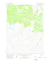
1972 · Christian D-2
USGS Topo · 1:63,360
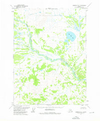
1973 · Christian D-1
USGS Topo · 1:63,360
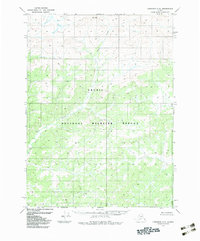
1983 · Christian C-2
USGS Topo · 1:63,360
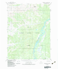
1983 · Christian C-1
USGS Topo · 1:63,360
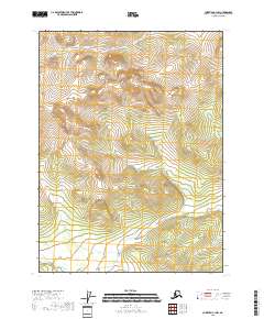
2018 · Christian C-1 NW
USGS Topo · 1:25,000
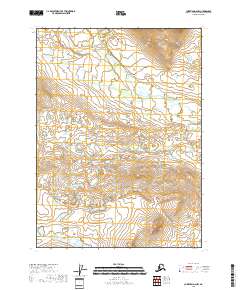
2018 · Christian D-2 NW
USGS Topo · 1:25,000
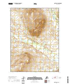
2018 · Christian D-2 NE
USGS Topo · 1:25,000
2018 · Christian D-1 NW
USGS Topo · 1:25,000