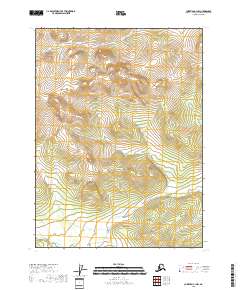
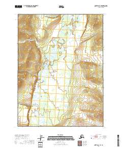
2018 Map of Christian C-1 NW
USGS Topo · Published 2018About this map
The Yukon-Koyukuk region of the Alaskan interior is defined here by the systematic grid of the Public Land Survey System, as shown in this 2018 survey. The landscape is structured by several township and range blocks, including T34n R15e and T33n R15e, which dominate the central terrain. This map serves as a primary record of the topographic layout in the Christian C-1 NW quadrangle, where the natural contours of the land are the primary focus in the absence of named settlements or man-made landmarks. The survey provides a clear view of the elevation changes across T34n R14e and T33n R14e, illustrating the remote character of this part of Alaska shortly after the turn of the 21st century. Researchers interested in the legal boundaries of the Alaskan wilderness will find the delineations for T32n R15e and T32n R16e particularly useful for identifying specific tracts of land within this vast territory.
Find a feature on this map
6 named features on this map. Tap any name to fly to it.
Don’t see what you’re looking for? This feature index may not catch every label — zoom into the map to look around manually.
Map Details
Editions of this 2018 Christian C-1 NW Map
This is the sole edition of this map. No revisions or reprints were ever made.
Other maps of this area

1951 · Christian
USGS Topo · 1:250,000

1956 · Christian
USGS Topo · 1:250,000
1972 · Christian D-2
USGS Topo · 1:63,360
1973 · Christian D-1
USGS Topo · 1:63,360
1983 · Christian C-2
USGS Topo · 1:63,360
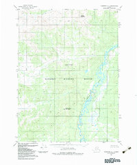
1983 · Christian C-1
USGS Topo · 1:63,360
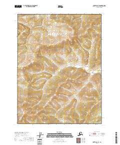
2018 · Christian C-2 SE
USGS Topo · 1:25,000
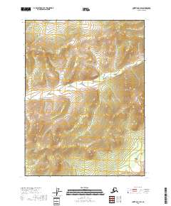
2018 · Christian C-1 SW
USGS Topo · 1:25,000
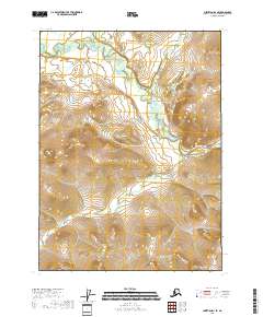
2018 · Christian D-1 SE
USGS Topo · 1:25,000
2018 · Christian C-1 SE
USGS Topo · 1:25,000