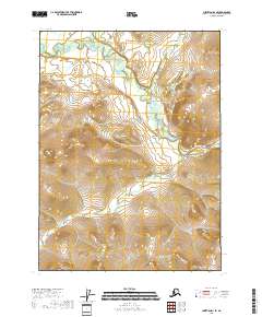
2018 Map of Christian D-1 SE
USGS Topo · Published 2018About this map
The Koness River winds through this northern interior landscape, carving a complex network of oxbows and seasonal wetlands across the valley floor. In this 2018 survey, the river is the primary geographical marker for an area otherwise defined by its remote topography and the administrative grids of the Public Land Survey System. The map illustrates the transition from the low-lying riparian corridor to the surrounding uplands, showcasing a terrain virtually untouched by permanent road infrastructure or established settlements.
Find a feature on this map
6 named features on this map. Tap any name to fly to it.
Don’t see what you’re looking for? This feature index may not catch every label — zoom into the map to look around manually.
Map Details
Editions of this 2018 Christian D-1 SE Map
This is the sole edition of this map. No revisions or reprints were ever made.
Other maps of this area

1951 · Coleen
USGS Topo · 1:250,000

1951 · Christian
USGS Topo · 1:250,000

1956 · Coleen
USGS Topo · 1:250,000

1956 · Christian
USGS Topo · 1:250,000

1972 · Coleen D-6
USGS Topo · 1:63,360
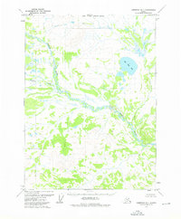
1973 · Christian D-1
USGS Topo · 1:63,360
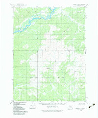
1983 · Coleen C-6
USGS Topo · 1:63,360
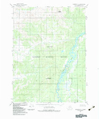
1983 · Christian C-1
USGS Topo · 1:63,360
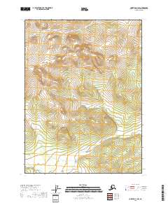
2018 · Christian C-1 NW
USGS Topo · 1:25,000
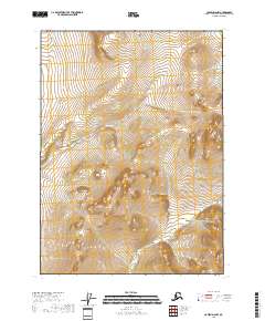
2018 · Coleen D-6 NW
USGS Topo · 1:25,000