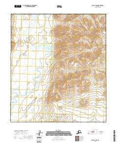
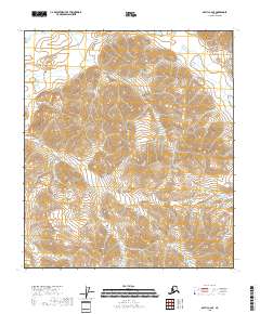
2018 Map of Arctic B-2 NW
USGS Topo · Published 2018About this map
The East Fork Chandalar River winds through a remote landscape of the Yukon-Koyukuk Census Area in northern Alaska. This map documents a high-latitude wilderness defined by significant elevation changes and glacial geography, where the river's meandering course creates complex oxbows and marshy lowlands. High peaks like Titus Mtn and Tetsyeh Mtn dominate the eastern topography, providing a stark vertical contrast to the river valley below.
Find a feature on this map
10 named features on this map. Tap any name to fly to it.
Don’t see what you’re looking for? This feature index may not catch every label — zoom into the map to look around manually.
Map Details
Editions of this 2018 Arctic B-2 NW Map
This is the sole edition of this map. No revisions or reprints were ever made.
Other maps of this area

1951 · Arctic
USGS Topo · 1:250,000

1956 · Arctic
USGS Topo · 1:250,000

1983 · Arctic C-3
USGS Topo · 1:63,360

1983 · Arctic B-2
USGS Topo · 1:63,360

1983 · Arctic C-2
USGS Topo · 1:63,360

1983 · Arctic B-3
USGS Topo · 1:63,360
2018 · Arctic B-2 NE
USGS Topo · 1:25,000
2018 · Arctic B-2 SW
USGS Topo · 1:25,000
2018 · Arctic B-2 SE
USGS Topo · 1:25,000
2018 · Arctic C-2 SE
USGS Topo · 1:25,000