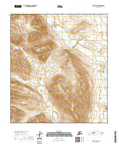
2018 Map of Arctic B-3 SW
USGS Topo · Published 2018About this map
The Junjik River creates a distinctive braided path through this northern interior Alaska landscape, showcasing a complex network of shifting channels and gravel bars. Flowing generally southeast, the river is the primary hydrological feature of this wilderness area, flanked by sharp topographic relief. To the west, the drainage of Deadman Creek winds through high-elevation valleys, defined by steep contour lines that illustrate the dramatic vertical rise from the river basin. The map provides a precise look at the township and range divisions, such as t13s r28e, which overlay this unsettled terrain. This survey reflects the persistence of remote river systems in the Yukon-Koyukuk region, where the lack of developed infrastructure emphasizes the natural drainage patterns that have shaped the geography for centuries.
Find a feature on this map
10 named features on this map. Tap any name to fly to it.
Don’t see what you’re looking for? This feature index may not catch every label — zoom into the map to look around manually.
Map Details
Editions of this 2018 Arctic B-3 SW Map
This is the sole edition of this map. No revisions or reprints were ever made.
Other maps of this area

1951 · Arctic
USGS Topo · 1:250,000

1956 · Arctic
USGS Topo · 1:250,000

1972 · Arctic A-3
USGS Topo · 1:63,360
1972 · Arctic A-4
USGS Topo · 1:63,360
1983 · Arctic B-4
USGS Topo · 1:63,360

1983 · Arctic B-3
USGS Topo · 1:63,360
2018 · Arctic A-4 NE
USGS Topo · 1:25,000
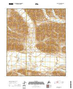
2018 · Arctic B-4 NE
USGS Topo · 1:25,000
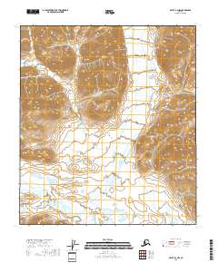
2018 · Arctic B-3 NW
USGS Topo · 1:25,000
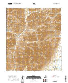
2018 · Arctic B-3 NE
USGS Topo · 1:25,000