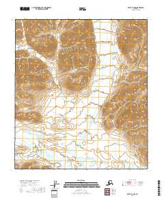
2018 Map of Arctic B-3 NW
USGS Topo · Published 2018About this map
Jun Jik River flows across the southern portion of this high-latitude Alaskan terrain, providing a primary drainage route through a landscape defined by significant elevation changes. The interior geography is anchored by prominent heights including Water Creek Mtn in the north and Yasuda Mtn to the southeast. These peaks overlook the valley of Water Creek, which carves a north-south path through the central sections. This 2018 survey illustrates a remote wilderness devoid of human infrastructure or roads, where the natural water systems and mountain summits are the only landmarks. The detailed contour intervals reveal the steep slopes and high-elevation basins that characterize the northern Brooks Range region, capturing the hydrology of the Yukon-Koyukuk area before any modern development altered the land.
Find a feature on this map
8 named features on this map. Tap any name to fly to it.
Don’t see what you’re looking for? This feature index may not catch every label — zoom into the map to look around manually.
Map Details
Editions of this 2018 Arctic B-3 NW Map
This is the sole edition of this map. No revisions or reprints were ever made.
Other maps of this area

1951 · Arctic
USGS Topo · 1:250,000

1956 · Arctic
USGS Topo · 1:250,000
1983 · Arctic B-4
USGS Topo · 1:63,360

1983 · Arctic C-3
USGS Topo · 1:63,360

1983 · Arctic B-3
USGS Topo · 1:63,360
1983 · Arctic C-4
USGS Topo · 1:63,360
2018 · Arctic B-4 NE
USGS Topo · 1:25,000
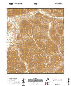
2018 · Arctic C-3 SE
USGS Topo · 1:25,000
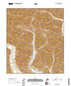
2018 · Arctic C-4 SE
USGS Topo · 1:25,000
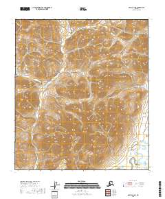
2018 · Arctic B-3 NE
USGS Topo · 1:25,000