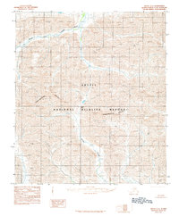
1983 Map of Arctic C-4
USGS Topo · Published 1984About this map
The Continental Divide cuts directly through this section of the Brooks Range, marking the primary hydrological and geological split of the North Slope. Located entirely within the Arctic National Wildlife Refuge, the terrain is defined by the headwaters of major north-flowing drainages. The Canning River and its major tributary, Marsh Fork, dominate the northern portion of the quadrangle, while Spring Creek provides a critical drainage path from the high peaks. A significant crossing point is identified at Carter Pass, situated at the intersection of these mountain ridges. The map reflects a landscape managed by the Bureau of Land Management and the U.S. Geological Survey, documenting the area as it was recorded during aerial photography in 1974 and finalized in the early 1980s.
Find a feature on this map
6 named features on this map. Tap any name to fly to it.
Don’t see what you’re looking for? This feature index may not catch every label — zoom into the map to look around manually.
Map Details
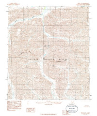
Editions of this 1983 Arctic C-4 Map
2 editions found
Other maps of this area

1951 · Arctic
USGS Topo · 1:250,000

1956 · Arctic
USGS Topo · 1:250,000
1971 · Arctic D-5
USGS Topo · 1:63,360
1971 · Arctic C-5
USGS Topo · 1:63,360
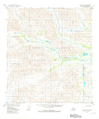
1981 · Arctic B-5
USGS Topo · 1:63,360
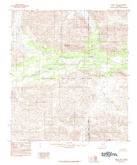
1983 · Arctic B-4
USGS Topo · 1:63,360

1983 · Arctic C-3
USGS Topo · 1:63,360

1983 · Arctic B-3
USGS Topo · 1:63,360
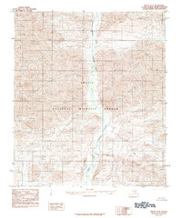
1983 · Arctic D-4
USGS Topo · 1:63,360
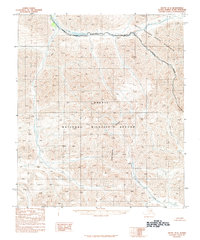
1983 · Arctic D-3
USGS Topo · 1:63,360