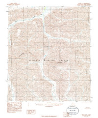
1983 Map of Arctic C-4
USGS Topo · Published 1986About this map
Arctic National Wildlife Refuge encompasses the entire topography of this 1983 survey, revealing the high-altitude hydrology of the North Slope. The landscape is defined by the Continental Divide, which snakes through the southern portion of the quadrangle, dictating the flow of glacial runoff. To the north, the Marsh Fork Canning River carves through the mountains, joined by the headwaters of Spring Creek. A primary point of transit through this vertical terrain is Carter Pass, situated at the heart of the refuge. Compiled from 1974 aerial photography, this provisional map provides a precise look at the drainage patterns and peaks of the Brooks Range before modern digital mapping, focusing purely on the natural features of the wilderness.
Find a feature on this map
5 named features on this map. Tap any name to fly to it.
Don’t see what you’re looking for? This feature index may not catch every label — zoom into the map to look around manually.
Map Details
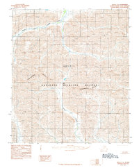
Editions of this 1983 Arctic C-4 Map
2 editions found
Other maps of this area

1951 · Arctic
USGS Topo · 1:250,000

1956 · Arctic
USGS Topo · 1:250,000
1971 · Arctic D-5
USGS Topo · 1:63,360
1971 · Arctic C-5
USGS Topo · 1:63,360
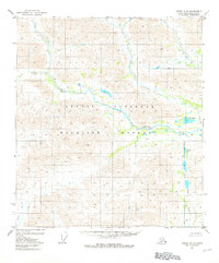
1981 · Arctic B-5
USGS Topo · 1:63,360
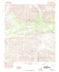
1983 · Arctic B-4
USGS Topo · 1:63,360

1983 · Arctic C-3
USGS Topo · 1:63,360

1983 · Arctic B-3
USGS Topo · 1:63,360
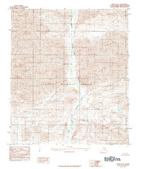
1983 · Arctic D-4
USGS Topo · 1:63,360
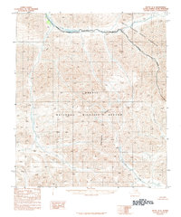
1983 · Arctic D-3
USGS Topo · 1:63,360