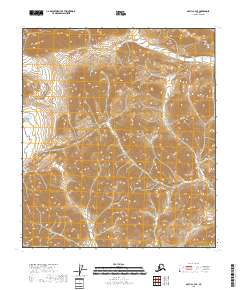
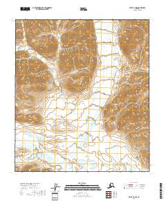
2018 Map of Arctic C-3 SE
USGS Topo · Published 2018About this map
North Slope Borough land is defined by its dramatic verticality in this 2018 survey, where the Brooks Range terrain reaches elevations surpassing 5,200 feet. The landscape is dominated by a dense network of ridges and drainages that flow through several survey townships, including T10s R29e and T10s R28e. While no named settlements or roads appear on this high-latitude sheet, the intricate contour lines reveal the complex geography of the Alaskan interior south of the Arctic coastal plain. The survey provides a clear look at the Public Land Survey System grid as it was applied to this environment, marking boundaries such as T11s R29e and T9s R29e. This map is a fundamental resource for understanding the physical geography and administrative division of these high-altitude borough lands.
Find a feature on this map
8 named features on this map. Tap any name to fly to it.
Don’t see what you’re looking for? This feature index may not catch every label — zoom into the map to look around manually.
Map Details
Editions of this 2018 Arctic C-3 SE Map
This is the sole edition of this map. No revisions or reprints were ever made.
Other maps of this area

1951 · Arctic
USGS Topo · 1:250,000

1956 · Arctic
USGS Topo · 1:250,000

1983 · Arctic C-3
USGS Topo · 1:63,360

1983 · Arctic B-2
USGS Topo · 1:63,360

1983 · Arctic C-2
USGS Topo · 1:63,360

1983 · Arctic B-3
USGS Topo · 1:63,360
2018 · Arctic B-2 NW
USGS Topo · 1:25,000
2018 · Arctic C-2 NW
USGS Topo · 1:25,000
2018 · Arctic C-2 SW
USGS Topo · 1:25,000
2018 · Arctic B-3 NW
USGS Topo · 1:25,000