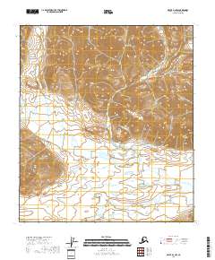
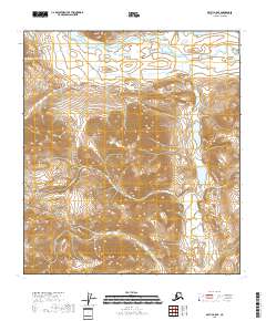
2018 Map of Arctic B-4 NW
USGS Topo · Published 2018About this map
The Junjik River meanders across the southern reaches of this landscape, its path defined by the broad valley floor beneath the high elevations of the Arctic. In the northeastern portion of the sheet, the terrain rises significantly toward the peak of Little Njoo Mtn, a prominent landmark within the Brooks Range system. This 2018 survey by the U.S. Geological Survey details an unpopulated expanse of the North Slope, where the drainage patterns and contour lines reveal a wilderness shaped by high-latitude hydrology. The isolation of the area is underscored by the absence of roads or established settlements, leaving the natural topography and the river's course as the primary geographic markers.
Find a feature on this map
8 named features on this map. Tap any name to fly to it.
Don’t see what you’re looking for? This feature index may not catch every label — zoom into the map to look around manually.
Map Details
Editions of this 2018 Arctic B-4 NW Map
This is the sole edition of this map. No revisions or reprints were ever made.
Other maps of this area

1951 · Arctic
USGS Topo · 1:250,000

1956 · Arctic
USGS Topo · 1:250,000
1971 · Arctic C-5
USGS Topo · 1:63,360
1981 · Arctic B-5
USGS Topo · 1:63,360
1983 · Arctic B-4
USGS Topo · 1:63,360
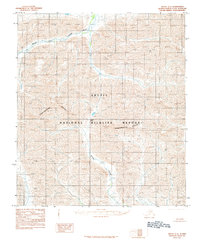
1983 · Arctic C-4
USGS Topo · 1:63,360
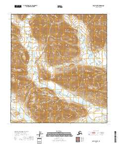
2018 · Arctic B-5 NE
USGS Topo · 1:25,000
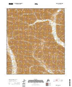
2018 · Arctic C-4 SW
USGS Topo · 1:25,000
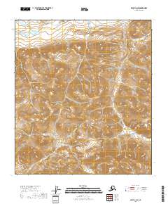
2018 · Arctic B-4 SW
USGS Topo · 1:25,000
2018 · Arctic B-5 SE
USGS Topo · 1:25,000