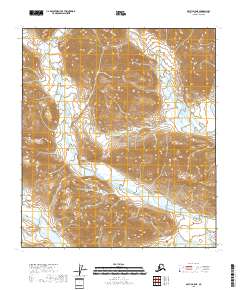
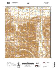
2018 Map of Arctic B-5 NE
USGS Topo · Published 2018About this map
Junjik River meanders across the southwestern reaches of this terrain, cutting through the elevation of the North Slope. Located within the t12s r24e and t11s r23e township boundaries, the landscape is defined by its drainage patterns and singular water bodies like Timber Lake. The map demonstrates a high-latitude wilderness where hydrological features and the Public Land Survey System grid provide the only markers of location. The isolation of these features reflects the environmental character of the Arctic region in the early twenty-first century, emphasizing the prominence of the river system as the primary named landmark in a region without permanent settlements or infrastructure.
Find a feature on this map
6 named features on this map. Tap any name to fly to it.
Don’t see what you’re looking for? This feature index may not catch every label — zoom into the map to look around manually.
Map Details
Editions of this 2018 Arctic B-5 NE Map
This is the sole edition of this map. No revisions or reprints were ever made.
Other maps of this area

1951 · Arctic
USGS Topo · 1:250,000

1956 · Arctic
USGS Topo · 1:250,000
1971 · Arctic C-5
USGS Topo · 1:63,360
1981 · Arctic B-5
USGS Topo · 1:63,360
1983 · Arctic B-4
USGS Topo · 1:63,360
1983 · Arctic C-4
USGS Topo · 1:63,360
2018 · Arctic C-4 SW
USGS Topo · 1:25,000
2018 · Arctic B-4 SW
USGS Topo · 1:25,000
2018 · Arctic B-4 NW
USGS Topo · 1:25,000
2018 · Arctic B-5 SE
USGS Topo · 1:25,000