
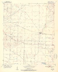
1951 Map of Arden
USGS Topo · Published 1952About this map
Gum Burke Flats defines the northern reaches of this Little River County landscape, where the St Louis San Francisco railroad cuts a straight line through the timber and agricultural clearings. The map documents a cluster of rural communities centered around the settlement of Arden, which serves as a rail point and local hub. To the west, the village of Wallace is surrounded by a dense network of local institutions, including Nolen Sch and several country churches like St John Ch.
Find a feature on this map
30 named features on this map. Tap any name to fly to it.
Don’t see what you’re looking for? This feature index may not catch every label — zoom into the map to look around manually.
Map Details
Editions of this 1951 Arden Map
4 editions found
Other maps of this area

1950 · Redbank
USGS Topo · 1:24,000

1950 · Ashdown West
USGS Topo · 1:24,000

1950 · Barkman
USGS Topo · 1:24,000

1950 · Falls Chapel
USGS Topo · 1:24,000

1950 · Winthrop
USGS Topo · 1:24,000

1951 · Winthrop
USGS Topo · 1:24,000

1951 · Redbank
USGS Topo · 1:24,000

1951 · Ashdown West
USGS Topo · 1:24,000

1951 · Falls Chapel
USGS Topo · 1:24,000

1951 · Barkman
USGS Topo · 1:24,000