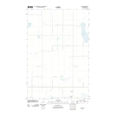
2011 Map of Arena
USGS Topo · Published 2011About this map
Arena appears as a small settlement in Burleigh County, centered on Front St near the southern edge of this North Dakota landscape. The terrain is defined by a series of prairie lakes and wetlands, including the prominent Horseshoe Lake in the northwest and the expansive Twin Lakes along the eastern border. These water bodies, along with Harriet Lake to the south, dictate the sparse, grid-based road network that services the surrounding agricultural land. A significant site for local history is the Saint Johns Cemetery, located north of Arena, which serves as a primary landmark for genealogists tracing families from this rural community. The map preserves the 2011 alignment of rural routes such as 383rd Ave NE and 405th St NE, showing the modern connectivity of this quiet corner of the Plains.
Find a feature on this map
20 named features on this map. Tap any name to fly to it.
Don’t see what you’re looking for? This feature index may not catch every label — zoom into the map to look around manually.
Map Details
Editions of this 2011 Arena Map
This is the sole edition of this map. No revisions or reprints were ever made.
Other maps of this area

1954 · McClusky
USGS Topo · 1:250,000

1958 · McClusky
USGS Topo · 1:250,000

1960 · Florence Lake
USGS Topo · 1:24,000

1975 · Wing SE
USGS Topo · 1:24,000
1978 · Goodrich SW
USGS Topo · 1:24,000
1978 · Woodhouse Lake
USGS Topo · 1:24,000
1979 · Harriet Lake
USGS Topo · 1:24,000
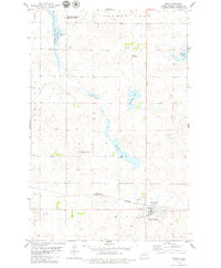
1979 · Wing
USGS Topo · 1:24,000
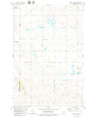
1979 · Harriet Lake SE
USGS Topo · 1:24,000
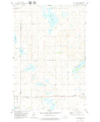
1979 · Lake Helen
USGS Topo · 1:24,000