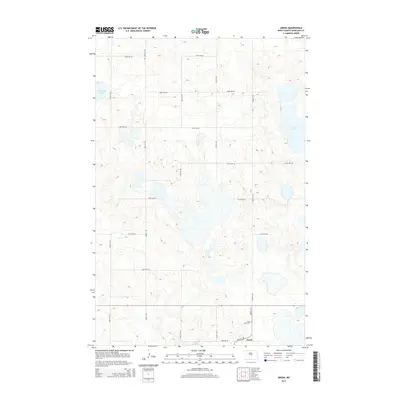
2014 Map of Arena
USGS Topo · Published 2014About this map
Arena sits at the southern edge of this North Dakota landscape, situated along the intersection of 385th St NE and 292nd Ave NE. This rural district in Burleigh County is characterized by its numerous prairie potholes and glacial depressions, including the broad reaches of Harriet Lake and the distinctive Horseshoe Lake. The settlement pattern follows a strict section-line grid, with numbered avenues and streets like 344th Ave NE and 353rd St NE carving the terrain into agricultural blocks. Near the townsite, Saint Johns Cem provides a specific point of interest for genealogists tracing early families in this corner of the state. The presence of Twin Lakes to the east further illustrates the water-dominated geography of the region, where roads often deviate to navigate around seasonal and permanent basins.
Find a feature on this map
21 named features on this map. Tap any name to fly to it.
Don’t see what you’re looking for? This feature index may not catch every label — zoom into the map to look around manually.
Map Details
Editions of this 2014 Arena Map
This is the sole edition of this map. No revisions or reprints were ever made.
Other maps of this area

1954 · McClusky
USGS Topo · 1:250,000

1958 · McClusky
USGS Topo · 1:250,000

1960 · Florence Lake
USGS Topo · 1:24,000

1975 · Wing SE
USGS Topo · 1:24,000
1978 · Goodrich SW
USGS Topo · 1:24,000
1978 · Woodhouse Lake
USGS Topo · 1:24,000
1979 · Harriet Lake
USGS Topo · 1:24,000
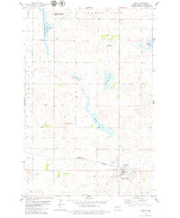
1979 · Wing
USGS Topo · 1:24,000
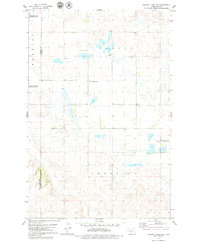
1979 · Harriet Lake SE
USGS Topo · 1:24,000
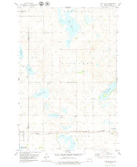
1979 · Lake Helen
USGS Topo · 1:24,000