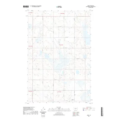
2020 Map of Arena
USGS Topo · Published 2020About this map
Arena stands as a primary point of reference in this Burleigh County landscape, located near the southern edge of the survey area. The surrounding terrain is defined by a complex network of wetlands and small water bodies characteristic of the Missouri Coteau region, including the prominent Twin Lakes to the northeast. A rigorous grid of section lines and gravel roads, such as 392nd St NE and 305th Ave Ne, provide access to the dispersed homesteads and agricultural tracts that dominate the township sections. For those researching local history or genealogy, Saint Johns Cem is located just north of Arena, serving as a significant landmark of the community's established presence. The map illustrates the careful division of land into townships, including t143n r75w, showcasing the persistence of the Public Land Survey System in organizing the North Dakota prairie.
Find a feature on this map
24 named features on this map. Tap any name to fly to it.
Don’t see what you’re looking for? This feature index may not catch every label — zoom into the map to look around manually.
Map Details
Editions of this 2020 Arena Map
This is the sole edition of this map. No revisions or reprints were ever made.
Other maps of this area

1954 · McClusky
USGS Topo · 1:250,000

1958 · McClusky
USGS Topo · 1:250,000

1960 · Florence Lake
USGS Topo · 1:24,000

1975 · Wing SE
USGS Topo · 1:24,000
1978 · Goodrich SW
USGS Topo · 1:24,000
1978 · Woodhouse Lake
USGS Topo · 1:24,000
1979 · Harriet Lake
USGS Topo · 1:24,000
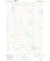
1979 · Wing
USGS Topo · 1:24,000
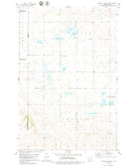
1979 · Harriet Lake SE
USGS Topo · 1:24,000
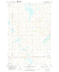
1979 · Lake Helen
USGS Topo · 1:24,000