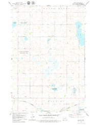
1979 Map of Arena
USGS Topo · Published 1979About this map
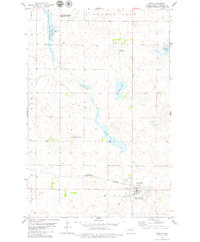
The northern prairie of Burleigh County is defined by the glacial wetlands and depressions of Hazel Grove and Harriet. In the late 1970s, this landscape is a patchwork of conservation efforts, featuring large tracts of the National Waterfowl Production Area and the Arena State Game Management Area surrounding numerous prairie potholes and lakes. The small settlement of Arena sits at the southern edge of the map along the Burlington Northern railroad line. Local history is anchored by the Townhall and the nearby St Johns Cem, reflecting a rural community deeply tied to its geography. The map also documents the hydrology of the region, from the large expanse of Florence Lake to the smaller Twin Lakes and Horseshoe Lake, providing a clear view of the terrain before modern agricultural alterations changed many such prairie environments.
Find a feature on this map
14 named features on this map. Tap any name to fly to it.
Don’t see what you’re looking for? This feature index may not catch every label — zoom into the map to look around manually.
Map Details
Editions of this 1979 Arena Map
This is the sole edition of this map. No revisions or reprints were ever made.
Other maps of this area

1954 · McClusky
USGS Topo · 1:250,000

1958 · McClusky
USGS Topo · 1:250,000

1960 · Florence Lake
USGS Topo · 1:24,000

1975 · Wing SE
USGS Topo · 1:24,000
1978 · Goodrich SW
USGS Topo · 1:24,000
1978 · Woodhouse Lake
USGS Topo · 1:24,000
1979 · Harriet Lake
USGS Topo · 1:24,000
1979 · Wing
USGS Topo · 1:24,000
1979 · Harriet Lake SE
USGS Topo · 1:24,000
1979 · Lake Helen
USGS Topo · 1:24,000