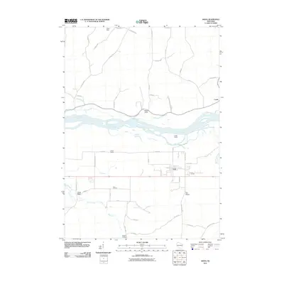
2010 Map of Arena
USGS Topo · Published 2010About this map
The Wisconsin River cuts a wide, braided path through this Iowa County landscape, shaping the agriculture and settlement patterns of the river valley. The village of Arena serves as the primary hub, surrounded by smaller concentrations of activity at Arena Prairie and Badger Valley. The map reveals a land divided between the broad alluvial flats and the rising bluffs and hollows to the south, such as Knight Hollow and Ray Hollow. Local family history is rooted in the landscape through the Arena Cemetery and Davis Cemetery, while the northern portion of the quadrangle is defined by the rural settlement of Cassell and the prominent Point Bluff overlooking the river. These features reflect the enduring rural character of the region as it transitioned into the early 21st century.
Find a feature on this map
49 named features on this map. Tap any name to fly to it.
Don’t see what you’re looking for? This feature index may not catch every label — zoom into the map to look around manually.
Map Details
Editions of this 2010 Arena Map
This is the sole edition of this map. No revisions or reprints were ever made.
Other maps of this area

1901 · Denzer
USGS Topo · 1:62,500

1905 · Richland Center
USGS Topo · 1:125,000

1920 · Blue Mounds
USGS Topo · 1:62,500

1922 · Blue Mounds
USGS Topo · 1:62,500

1957 · Madison
USGS Topo · 1:250,000

1958 · North Freedom
USGS Topo · 1:62,500

1958 · La Crosse
USGS Topo · 1:250,000

1960 · Madison
USGS Topo · 1:250,000

1960 · Plain
USGS Topo · 1:62,500

1960 · Spring Green
USGS Topo · 1:62,500