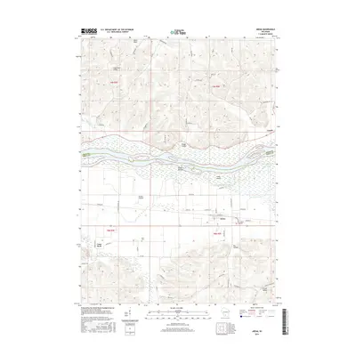
2016 Map of Arena
USGS Topo · Published 2016About this map
The Wisconsin River dominates this landscape, weaving between Sauk Co and Iowa Co as it passes numerous sandbars and the prominent Cedar Island. To the south, the village of Arena sits on the flat expanse of the Arena Prairie, a geographic feature that influenced the early road patterns and town placement in this portion of Wisconsin. The terrain transitions quickly from these lowlands into the dissected bluffs of the Driftless Area, characterized by steep-sided draws like Federman Valley and Knight Hollow.
Find a feature on this map
61 named features on this map. Tap any name to fly to it.
Don’t see what you’re looking for? This feature index may not catch every label — zoom into the map to look around manually.
Map Details
Editions of this 2016 Arena Map
This is the sole edition of this map. No revisions or reprints were ever made.
Other maps of this area

1901 · Denzer
USGS Topo · 1:62,500

1905 · Richland Center
USGS Topo · 1:125,000

1920 · Blue Mounds
USGS Topo · 1:62,500

1922 · Blue Mounds
USGS Topo · 1:62,500

1957 · Madison
USGS Topo · 1:250,000

1958 · North Freedom
USGS Topo · 1:62,500

1958 · La Crosse
USGS Topo · 1:250,000

1960 · Madison
USGS Topo · 1:250,000

1960 · Plain
USGS Topo · 1:62,500

1960 · Spring Green
USGS Topo · 1:62,500