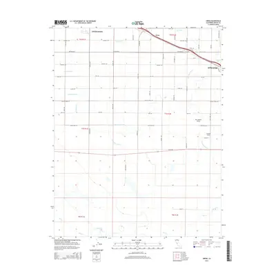
2015 Map of Arena
USGS Topo · Published 2015About this map
The agricultural landscape of the San Joaquin Valley is defined by an intricate network of irrigation channels and laterals in this mid-2010s survey. Stretching between Livingston and the northwestern edge of Atwater, the terrain is organized by a precise grid of rural roads and canals that sustain the region's productivity. Major water management features like the Arena Canal, Atwater Canal, and Parr Lateral crisscross the valley floor, highlighting the technological reliance on the Central Valley water system.
Find a feature on this map
57 named features on this map. Tap any name to fly to it.
Don’t see what you’re looking for? This feature index may not catch every label — zoom into the map to look around manually.
Map Details
Editions of this 2015 Arena Map
This is the sole edition of this map. No revisions or reprints were ever made.
Other maps of this area

1916 · Cressey
USGS Topo · 1:31,680

1917 · Turlock
USGS Topo · 1:31,680

1917 · Winton
USGS Topo · 1:31,680

1918 · Arena
USGS Topo · 1:31,680

1918 · Atwater
USGS Topo · 1:31,680

1918 · Stevinson
USGS Topo · 1:31,680

1918 · Sandy Mush
USGS Topo · 1:31,680

1918 · Turner Ranch
USGS Topo · 1:31,680

1919 · San Luis Ranch
USGS Topo · 1:31,680
1942 · Irwin
USGS Topo · 1:62,500