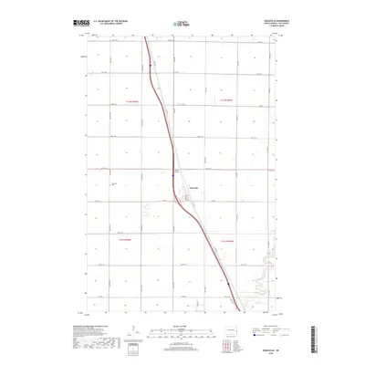
2018 Map of Argusville
USGS Topo · Published 2018About this map
The agricultural landscape of Cass County is defined by a rigorous grid of section lines and the meandering course of the Sheyenne River in the southeast corner. The settlement of Argusville serves as the focal point of the area, situated at a junction near Co Hwy 81 and the local Lisburg Airport. This 2018 survey illustrates the persistent importance of the township and range system, with named roads like 166th Ave SE and 24th St SE carving the prairie into neat parcels.
Find a feature on this map
36 named features on this map. Tap any name to fly to it.
Don’t see what you’re looking for? This feature index may not catch every label — zoom into the map to look around manually.
Map Details
Editions of this 2018 Argusville Map
This is the sole edition of this map. No revisions or reprints were ever made.
Other maps of this area

1895 · Fargo
USGS Topo · 1:125,000

1895 · Casselton
USGS Topo · 1:125,000

1897 · Fargo
USGS Topo · 1:125,000

1897 · Casselton
USGS Topo · 1:125,000

1952 · Grand Forks
USGS Topo · 1:250,000

1953 · Fargo
USGS Topo · 1:250,000

1956 · Fargo
USGS Topo · 1:250,000

1956 · Grand Forks
USGS Topo · 1:250,000

1959 · Fargo North
USGS Topo · 1:24,000

1959 · West Fargo
USGS Topo · 1:24,000