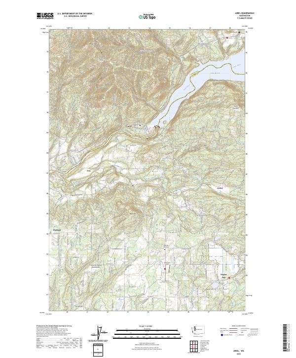
2023 Map of Ariel
USGS Topo · Published 2023About this map
Lewis River drainage patterns and the established communities of Ariel, Amboy, and Etna define this contemporary topographical study of northern Clark County. The landscape is characterized by the transition from the river valley to prominent summits like Bald Mtn and Davis Peak, with Lake Merwin dominating the northeast corner. This modern survey detail shows a network of rural roads such as NE Etna Rd and Lewis River Rd connecting isolated farmsteads and residential clusters. Local heritage sites are preserved through the documentation of the Lone Pine Cem and Mountain View Cem. Agricultural and landing infrastructure is evident in features like the Tsugawa Brothers Reservoir and McClellan Field, illustrating the continued importance of land management and local aviation in the region. The boundary between Cowlitz and Clark counties follows the meandering course of the river, anchoring the northern edge of the map.
Find a feature on this map
76 named features on this map. Tap any name to fly to it.
Don’t see what you’re looking for? This feature index may not catch every label — zoom into the map to look around manually.
Map Details
Editions of this 2023 Ariel Map
This is the sole edition of this map. No revisions or reprints were ever made.
Historical Maps of Cowlitz County Through Time
14 maps found
1954 Lacamas Creek
Clark County, WA
1971 Ariel
Clark County, WA
1986 Dole
Clark County, WA
1986 Larch Mtn
Clark County, WA
1986 Yale Dam
Clark County, WA
1990 Lacamas Creek
Clark County, WA
2000 Dole
Clark County, WA
2000 Larch Mountain
Clark County, WA
2000 Yale Dam
Clark County, WA
2023 Ariel
Clark County, WA
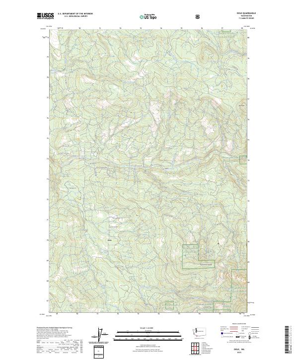
2023 Dole
Clark County, WA
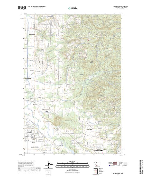
2023 Lacamas Creek
Clark County, WA
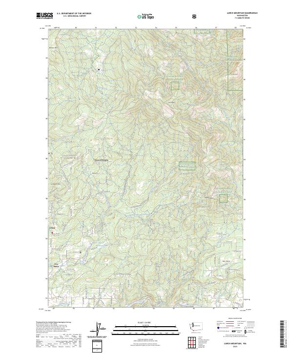
2023 Larch Mountain
Clark County, WA
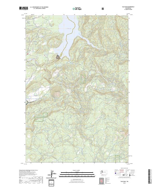
2023 Yale Dam
Clark County, WA