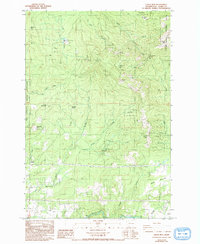
1986 Map of Larch Mtn
USGS Topo · Published 1993About this map
The rugged highlands of the western Cascades define this landscape, anchored by the prominent Larch Mtn and surrounding peaks like Elkhorn Mtn and Livingston Mtn. The northern reaches of the Camp Bonneville Military Reservation occupy the western edge, transitioning into the managed timberlands of the Gifford Pinchot National Forest. This era shows a mix of institutional and recreational land use, from the Larch Corrections Center with its associated Sewage Disposal Pond to the Jones Creek Campground. Waterways such as the Little Washougal River and Washougal River carve through the southern terrain, where small settlements like Ireland and residential clusters at Creswell Heights provide evidence of local development. Infrastructural markers, including a Radio Facility and numerous logging or fire access roads, trace the utilitarian management of these high-elevation forests during the late twentieth century.
Find a feature on this map
35 named features on this map. Tap any name to fly to it.
Don’t see what you’re looking for? This feature index may not catch every label — zoom into the map to look around manually.
Map Details
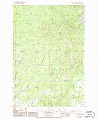
Editions of this 1986 Larch Mtn Map
2 editions found
Other maps of this area

1918 · Troutdale
USGS Topo · 1:62,500

1934 · Troutdale
USGS Topo · 1:48,000

1940 · Lookout Mtn
USGS Topo · 1:62,500

1941 · Yacolt
USGS Topo · 1:62,500

1941 · Camas
USGS Topo · 1:62,500

1942 · Camas
USGS Topo · 1:62,500

1948 · Vancouver
USGS Topo · 1:250,000

1950 · Vancouver
USGS Topo · 1:250,000

1950 · Vancouver
USGS Topo · 1:250,000

1953 · Lookout Mtn
USGS Topo · 1:62,500