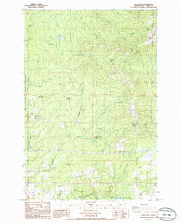
1986 Map of Larch Mtn
USGS Topo · Published 1986About this map
Larch Corrections Center sits in the northern uplands of this Clark County landscape, surrounded by the steep drainages of Cedar Creek and Cold Creek. The map reflects a mid-1980s transition where public land use and institutional presence meet, including the northern edge of the Camp Bonneville Military Reservation and the remote Jones Creek Campground. Significant peaks like Elkhorn Mtn, Larch Mtn, and Spud Mountain define the high terrain, while the Washougal River and Cougar Creek carve through the southern sections. This provisional survey captures the intricate network of 4wd tracks and transmission lines that cross the high ridges, alongside small settlements such as Creswell Heights and Ireland. The presence of the Gifford Pinchot National Forest boundary indicates a heavily managed timber and recreational environment on the doorstep of the growing Vancouver area.
Find a feature on this map
37 named features on this map. Tap any name to fly to it.
Don’t see what you’re looking for? This feature index may not catch every label — zoom into the map to look around manually.
Map Details
Editions of this 1986 Larch Mtn Map
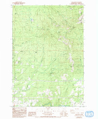
2 editions found
Other maps of this area

1918 · Troutdale
USGS Topo · 1:62,500

1934 · Troutdale
USGS Topo · 1:48,000

1940 · Lookout Mtn
USGS Topo · 1:62,500

1941 · Yacolt
USGS Topo · 1:62,500

1941 · Camas
USGS Topo · 1:62,500

1942 · Camas
USGS Topo · 1:62,500

1948 · Vancouver
USGS Topo · 1:250,000

1950 · Vancouver
USGS Topo · 1:250,000

1950 · Vancouver
USGS Topo · 1:250,000

1953 · Lookout Mtn
USGS Topo · 1:62,500