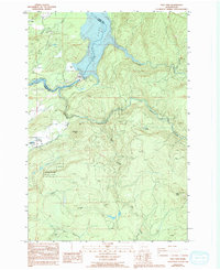
1986 Map of Yale Dam
USGS Topo · Published 1994About this map
Yale Lake and the Lewis River dominate this mid-1980s landscape at the border of Clark and Cowlitz counties. The engineered geography of the hydroelectric era is clearly visible, centered on the Yale Dam and the nearby Saddle Dam, complete with supporting infrastructure like a Gaging Sta, Radio Facility, and Boat Ramp. The small settlement of Yale sits to the northwest, accompanied by an Airstrip and a local Cem, while Chelatchie and Shelly occupy the lower western reaches. Extensive portions of the Gifford Pinchot National Forest cover the terrain, which rises toward distinctive landmarks such as Tumtum Mtn and Green Knob. Numerous watercourses, including Canyon Creek and Siouxon Creek, carve through the timberlands, which are also marked by several Borrow Pits and a Quarry, reflecting the area's resource-based activity during this period.
Find a feature on this map
36 named features on this map. Tap any name to fly to it.
Don’t see what you’re looking for? This feature index may not catch every label — zoom into the map to look around manually.
Map Details
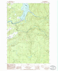
Editions of this 1986 Yale Dam Map
2 editions found
Other maps of this area

1919 · Mount St Helens
USGS Topo · 1:125,000

1940 · Lookout Mtn
USGS Topo · 1:62,500

1941 · Yacolt
USGS Topo · 1:62,500

1948 · Vancouver
USGS Topo · 1:250,000

1950 · Vancouver
USGS Topo · 1:250,000

1950 · Vancouver
USGS Topo · 1:250,000

1953 · Hoquiam
USGS Topo · 1:250,000

1953 · Lookout Mtn
USGS Topo · 1:62,500

1953 · Cougar
USGS Topo · 1:62,500
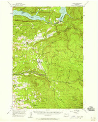
1956 · Yacolt
USGS Topo · 1:62,500