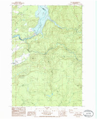
1986 Map of Yale Dam
USGS Topo · Published 1986About this map
Yale Lake and the damming of the Lewis River dominate this landscape on the border of Clark and Cowlitz counties in the mid-1980s. The geography is defined by significant hydroelectric infrastructure, including Yale Dam, the Saddle Dam, and a nearby radio facility and gaging station. While much of the eastern portion is occupied by the timbered slopes of the Gifford Pinchot National Forest, small pockets of settlement like Yale and Chelatchie persist along the western edge. Recreation and resource extraction are evident through features like Speelyai Park, a Campground, and several industrial sites labeled as Quarry and Borrow Pits. The distinct volcanic profile of Tumtum Mtn stands near Canyon Creek, while the southern reaches are drained by Cedar Creek and Fly Creek, showing the complex drainage patterns before these waters meet the larger reservoirs of Lake Merwin.
Find a feature on this map
33 named features on this map. Tap any name to fly to it.
Don’t see what you’re looking for? This feature index may not catch every label — zoom into the map to look around manually.
Map Details
Editions of this 1986 Yale Dam Map
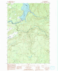
2 editions found
Other maps of this area

1919 · Mount St Helens
USGS Topo · 1:125,000

1940 · Lookout Mtn
USGS Topo · 1:62,500

1941 · Yacolt
USGS Topo · 1:62,500

1948 · Vancouver
USGS Topo · 1:250,000

1950 · Vancouver
USGS Topo · 1:250,000

1950 · Vancouver
USGS Topo · 1:250,000

1953 · Hoquiam
USGS Topo · 1:250,000

1953 · Lookout Mtn
USGS Topo · 1:62,500

1953 · Cougar
USGS Topo · 1:62,500
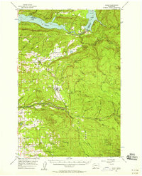
1956 · Yacolt
USGS Topo · 1:62,500