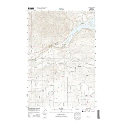
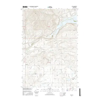
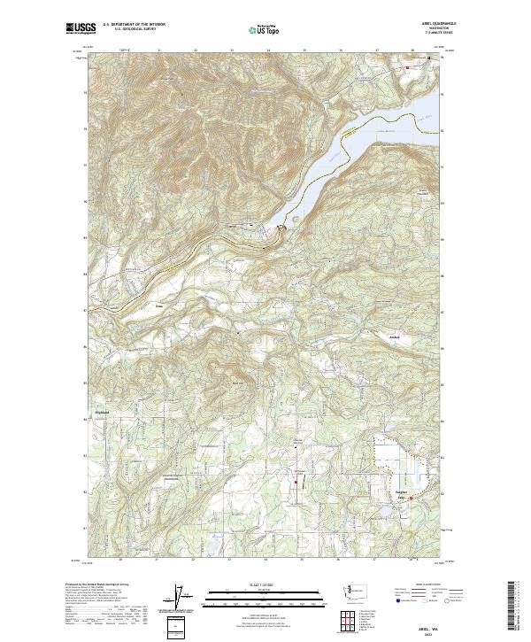
1971 Map of Ariel
USGS Topo · Published 1994About this map
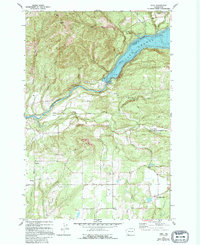
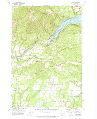
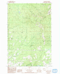
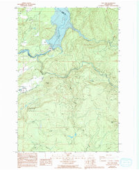
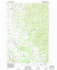
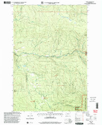
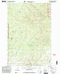
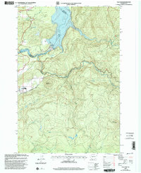
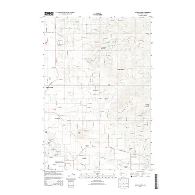
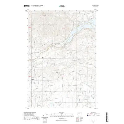
Merwin Dam anchors the landscape where the Lewis River transitions into Lewis Lake, a reservoir that dominates the northern half of this Clark County survey. The small community of Ariel sits just below the dam, supported by a powerhouse and substation that reflect the mid-century hydroelectric infrastructure of the Pacific Northwest. South of the river, the terrain rises toward Bald Mtn and Green Mtn, where the Green Mountain Sch once served local families. The settlement patterns follow rural roads like Spurrel Road and Hoff Road, leading to established hamlets such as Etna, Highland, and View. Local history is marked by quiet landmarks like Mtn View Cem and the State Fish Hatchery near the confluence of Colvin Creek, showing a landscape defined by forestry, small-scale farming, and river management.
Find a feature on this map
45 named features on this map. Tap any name to fly to it.
Don’t see what you’re looking for? This feature index may not catch every label — zoom into the map to look around manually.
Map Details
Editions of this 1971 Ariel Map
2 editions found
Historical Maps of Hall Through Time
34 maps found
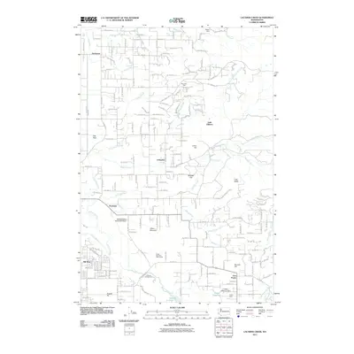
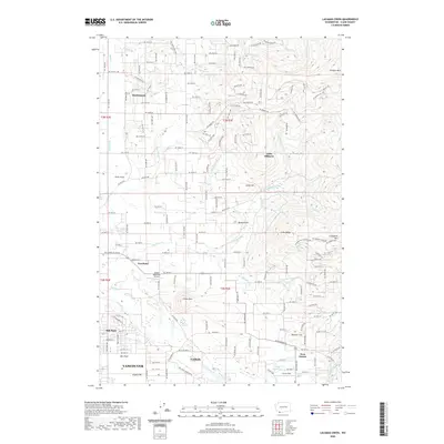
1954 Lacamas Creek
Clark County, WA
1971 Ariel
Clark County, WA
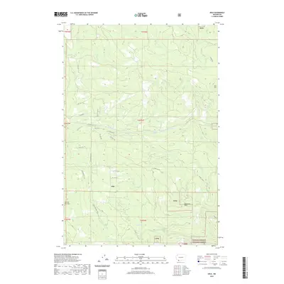
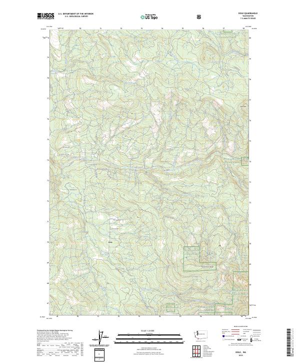
1986 Dole
Clark County, WA
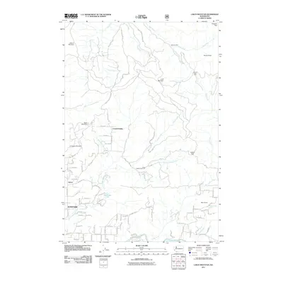
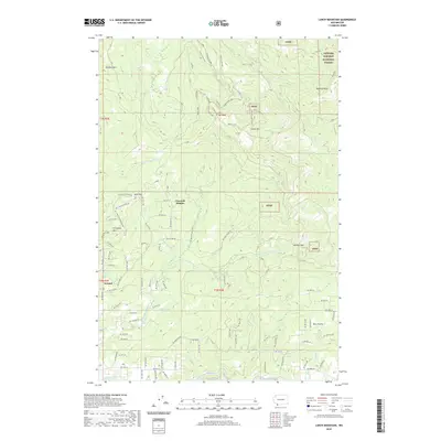
1986 Larch Mtn
Clark County, WA
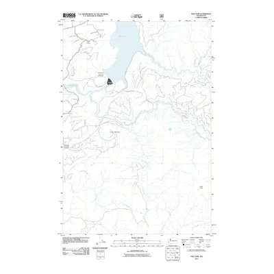
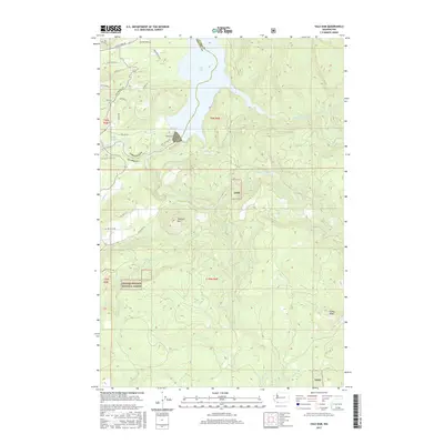
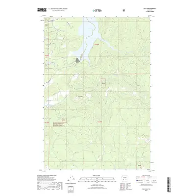
1986 Yale Dam
Clark County, WA
1990 Lacamas Creek
Clark County, WA
2000 Dole
Clark County, WA
2000 Larch Mountain
Clark County, WA
2000 Yale Dam
Clark County, WA
2011 Ariel
Clark County, WA
2011 Dole
Clark County, WA
2011 Lacamas Creek
Clark County, WA
2011 Larch Mountain
Clark County, WA
2011 Yale Dam
Clark County, WA
2013 Ariel
Clark County, WA
2013 Lacamas Creek
Clark County, WA
2013 Yale Dam
Clark County, WA
2014 Dole
Clark County, WA
2014 Larch Mountain
Clark County, WA
2017 Ariel
Clark County, WA
2017 Dole
Clark County, WA
2017 Lacamas Creek
Clark County, WA
2017 Larch Mountain
Clark County, WA
2017 Yale Dam
Clark County, WA
2020 Ariel
Clark County, WA
2020 Dole
Clark County, WA
2020 Lacamas Creek
Clark County, WA
2020 Larch Mountain
Clark County, WA
2020 Yale Dam
Clark County, WA
2023 Ariel
Clark County, WA
2023 Dole
Clark County, WA
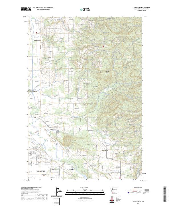
2023 Lacamas Creek
Clark County, WA
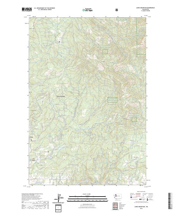
2023 Larch Mountain
Clark County, WA
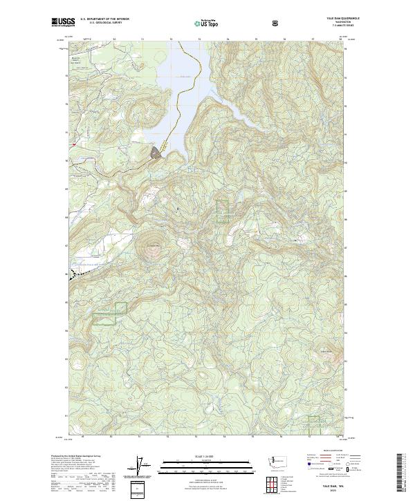
2023 Yale Dam
Clark County, WA