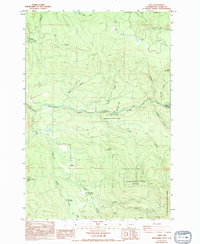
1986 Map of Dole
USGS Topo · Published 1994About this map
The East Fork Lewis River carves through the heart of the Clark County backcountry, defining a landscape of deep drainages and prominent peaks like Jack Mountain and Spotted Deer Mtn. The small settlement of Dole serves as a lone reference point in an area dominated by state and federal timberlands, including portions of the Gifford Pinchot National Forest and Wormald State Park.
Find a feature on this map
35 named features on this map. Tap any name to fly to it.
Don’t see what you’re looking for? This feature index may not catch every label — zoom into the map to look around manually.
Map Details
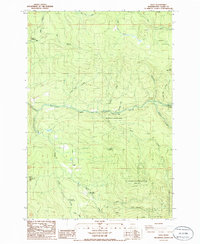
Editions of this 1986 Dole Map
2 editions found
Other maps of this area

1918 · Troutdale
USGS Topo · 1:62,500

1934 · Troutdale
USGS Topo · 1:48,000

1940 · Lookout Mtn
USGS Topo · 1:62,500

1941 · Yacolt
USGS Topo · 1:62,500

1941 · Camas
USGS Topo · 1:62,500

1942 · Camas
USGS Topo · 1:62,500

1948 · Vancouver
USGS Topo · 1:250,000

1950 · Vancouver
USGS Topo · 1:250,000

1950 · Vancouver
USGS Topo · 1:250,000

1953 · Lookout Mtn
USGS Topo · 1:62,500