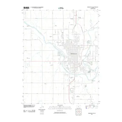
2010 Map of Arkansas City
USGS Topo · Published 2010About this map
The confluence of the Arkansas River and Walnut River dominates the layout of Arkansas City, a hub of industry and transit in Southern Kansas. At this point in the early 21st century, the landscape reflects a long history of petroleum extraction, with numerous active zones including the Geuda Springs Oil Field, Harvey Oil Field, and McKay Oil Field surrounding the urban center. To the north, the small settlement of Moxham sits near the Walnut River, while the city proper is well-protected by an extensive dike system along its western and southern riverbanks.
Find a feature on this map
104 named features on this map. Tap any name to fly to it.
Don’t see what you’re looking for? This feature index may not catch every label — zoom into the map to look around manually.
Map Details
Editions of this 2010 Arkansas City Map
This is the sole edition of this map. No revisions or reprints were ever made.
Other maps of this area

1889 · Burden
USGS Topo · 1:125,000

1890 · Wellington
USGS Topo · 1:125,000

1935 · Kaw
USGS Topo · 1:62,500

1955 · Wichita
USGS Topo · 1:250,000

1955 · Enid
USGS Topo · 1:250,000

1958 · Enid
USGS Topo · 1:250,000

1958 · Wichita
USGS Topo · 1:250,000

1963 · Kaw City NW
USGS Topo · 1:24,000

1965 · Silverdale
USGS Topo · 1:24,000

1965 · Arkansas City
USGS Topo · 1:24,000