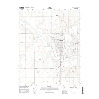
2015 Map of Arkansas City
USGS Topo · Published 2015About this map
The confluence of the Arkansas River and the Walnut River anchors this detailed survey of southern Cowley County. Arkansas City dominates the central landscape, showing its organized street grid extending toward the riverside. The map documents the city's educational and civic footprint, including the campus of Cowley College and the large Riverview Cemetery situated along the bluffs. To the east, the smaller community of Parkerfield and the recreation-oriented Lake Louise provide a contrast to the dense municipal center.
Find a feature on this map
186 named features on this map. Tap any name to fly to it.
Don’t see what you’re looking for? This feature index may not catch every label — zoom into the map to look around manually.
Map Details
Editions of this 2015 Arkansas City Map
This is the sole edition of this map. No revisions or reprints were ever made.
Other maps of this area

1889 · Burden
USGS Topo · 1:125,000

1890 · Wellington
USGS Topo · 1:125,000

1935 · Kaw
USGS Topo · 1:62,500

1955 · Wichita
USGS Topo · 1:250,000

1955 · Enid
USGS Topo · 1:250,000

1958 · Enid
USGS Topo · 1:250,000

1958 · Wichita
USGS Topo · 1:250,000

1963 · Kaw City NW
USGS Topo · 1:24,000

1965 · Silverdale
USGS Topo · 1:24,000

1965 · Arkansas City
USGS Topo · 1:24,000