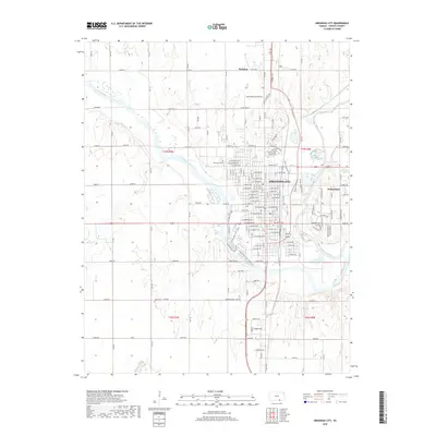
2018 Map of Arkansas City
USGS Topo · Published 2018About this map
Arkansas City sits at the confluence where the Walnut River joins the mighty Arkansas River, a geographic anchor in southern Cowley County. This 2018 survey details the established urban grid and modern expansions, including the Goff Industrial Park Rd to the north and the neighboring community of Parkerfield to the east. The landscape is defined by the winding river valleys and the smaller tributaries like Spring Creek and Negro Creek that feed into the larger water systems. Cultural markers such as Riverview Cemetery and Hope Cemetery provide important points of reference for local family history. The presence of Lake Louise and numerous rural routes like W Skyline Rd reflect the area's development from a river-focused settlement into a regional hub with a complex network of transportation and industry.
Find a feature on this map
163 named features on this map. Tap any name to fly to it.
Don’t see what you’re looking for? This feature index may not catch every label — zoom into the map to look around manually.
Map Details
Editions of this 2018 Arkansas City Map
This is the sole edition of this map. No revisions or reprints were ever made.
Other maps of this area

1889 · Burden
USGS Topo · 1:125,000

1890 · Wellington
USGS Topo · 1:125,000

1935 · Kaw
USGS Topo · 1:62,500

1955 · Wichita
USGS Topo · 1:250,000

1955 · Enid
USGS Topo · 1:250,000

1958 · Enid
USGS Topo · 1:250,000

1958 · Wichita
USGS Topo · 1:250,000

1963 · Kaw City NW
USGS Topo · 1:24,000

1965 · Silverdale
USGS Topo · 1:24,000

1965 · Arkansas City
USGS Topo · 1:24,000