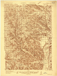
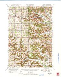
1935 Map of Arkansaw
USGS Topo · Published 1935About this map
Arkansaw sits at the nexus of the Eau Galle River and Little Arkansaw Creek, serving as a central hub in a landscape defined by sharp coulees and prominent ridges. This mid-1930s survey, partly compiled from Air Corps aerial photographs, reveals a dense network of rural infrastructure, including dozens of district schools like Chippewa Hill Sch and Cotter Hill Sch. The eastern edge of the map is dominated by the wide corridor of the Chippewa River, where the Chicago Milwaukee St Paul and Pacific RR follows the shoreline through Maxwell and Savoy Siding.
Find a feature on this map
92 named features on this map. Tap any name to fly to it.
Don’t see what you’re looking for? This feature index may not catch every label — zoom into the map to look around manually.
Map Details
Editions of this 1935 Arkansaw Map
This is the sole edition of this map. No revisions or reprints were ever made.
Other maps of this area

1929 · Durand
USGS Topo · 1:62,500
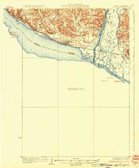
1932 · Wabasha
USGS Topo · 1:62,500

1932 · Durand
USGS Topo · 1:62,500
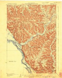
1932 · Alma
USGS Topo · 1:62,500
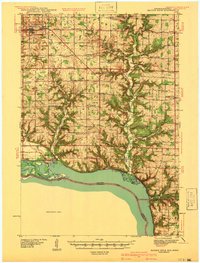
1940 · Maiden Rock
USGS Topo · 1:62,500
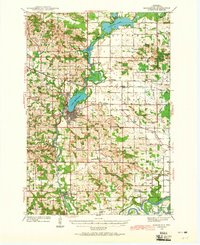
1940 · Menomonie
USGS Topo · 1:62,500
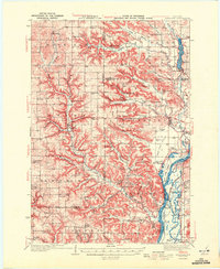
1941 · Arkansaw
USGS Topo · 1:62,500
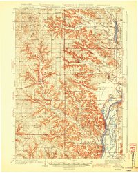
1942 · Arkansaw
USGS Topo · 1:62,500
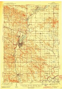
1942 · Menomonie
USGS Topo · 1:62,500
1946 · Knapp
USGS Topo · 1:62,500