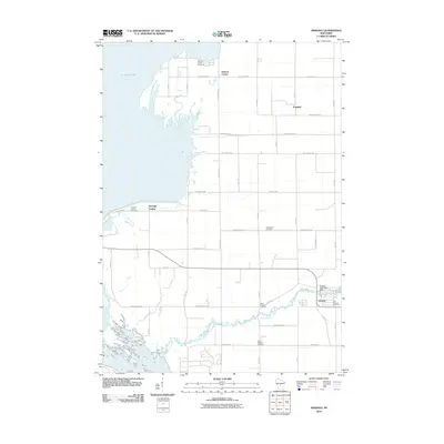
2010 Map of Arkdale
USGS Topo · Published 2010About this map
Big Roche a Cri Creek winds through the heart of this central Wisconsin landscape, eventually meeting the wide expanse of Petenwell Lake and the Wisconsin River along the western margin. The settlement pattern here is deeply rooted in its local geography, with the village of Arkdale anchored by the Arkdale 3WR1429 Dam and surrounded by several family and community burial grounds, including East Arkdale Cemetery and West Arkdale Cemetery.
Find a feature on this map
27 named features on this map. Tap any name to fly to it.
Don’t see what you’re looking for? This feature index may not catch every label — zoom into the map to look around manually.
Map Details
Editions of this 2010 Arkdale Map
This is the sole edition of this map. No revisions or reprints were ever made.
Other maps of this area

1921 · Mauston
USGS Topo · 1:62,500

1953 · Eau Claire
USGS Topo · 1:250,000

1955 · Green Bay
USGS Topo · 1:250,000

1957 · Madison
USGS Topo · 1:250,000

1958 · Eau Claire
USGS Topo · 1:250,000

1958 · Arkdale
USGS Topo · 1:48,000

1958 · Necedah
USGS Topo · 1:48,000

1958 · La Crosse
USGS Topo · 1:250,000

1960 · Madison
USGS Topo · 1:250,000

1961 · La Crosse
USGS Topo · 1:250,000