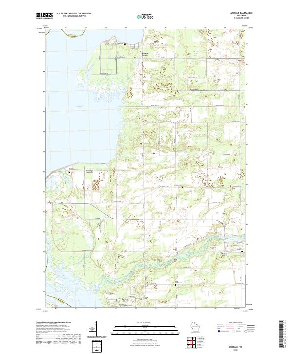
2022 Map of Arkdale
USGS Topo · Published 2022About this map
Arkdale and the surrounding township appear as a network of agricultural lands and water-rich terrain along the eastern shores of Petenwell Lake and Castle Rock Lake. The village of Arkdale serves as a local hub, situated at the confluence of Big Roche a Cri Creek and Arkdale Lake, where the landscape transitions from the creek valley to the broader prairies. This area is notably rich in community history markers, with several burying grounds including Strongs Prairie Cem, West Arkdale Cem, and East Arkdale Cem serving local families.
Find a feature on this map
59 named features on this map. Tap any name to fly to it.
Don’t see what you’re looking for? This feature index may not catch every label — zoom into the map to look around manually.
Map Details
Editions of this 2022 Arkdale Map
This is the sole edition of this map. No revisions or reprints were ever made.
Other maps of this area

1921 · Mauston
USGS Topo · 1:62,500

1953 · Eau Claire
USGS Topo · 1:250,000

1955 · Green Bay
USGS Topo · 1:250,000

1957 · Madison
USGS Topo · 1:250,000

1958 · Eau Claire
USGS Topo · 1:250,000

1958 · Arkdale
USGS Topo · 1:48,000

1958 · Necedah
USGS Topo · 1:48,000

1958 · La Crosse
USGS Topo · 1:250,000

1960 · Madison
USGS Topo · 1:250,000

1961 · La Crosse
USGS Topo · 1:250,000