1978 Map of Arley
USGS Topo · Published 1978About this map
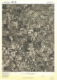
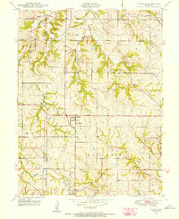
Arley and its surrounding agricultural landscape are documented in this 1978 orthophotoquad, which utilizes aerial imagery to provide a detailed view of Missouri's land use during the late 1970s. The settlement of Arley is visible as a cluster of structures amidst a geometric grid of farm fields and woodlots, illustrating the persistence of small rural communities in Clay County. The drainage patterns of the region are clearly defined by the winding paths of Lilly Creek and Clear Creek, which cut through the subdivided parcels of the Missouri countryside. This document was produced by the Geological Survey in cooperation with the Soil Conservation Service, emphasizing the focus on soil and land management. Researchers can examine the specific boundaries of late 20th-century farms and the evolution of local road networks that connect these remote homesteads to the village center.
Find a feature on this map
3 named features on this map. Tap any name to fly to it.
Don’t see what you’re looking for? This feature index may not catch every label — zoom into the map to look around manually.
Map Details
Editions of this 1978 Arley Map
This is the sole edition of this map. No revisions or reprints were ever made.
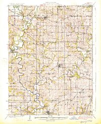
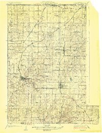
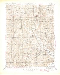
Other maps of this area

1890 · Kansas City
USGS Topo · 1:125,000

1894 · Kansas City
USGS Topo · 1:125,000

1894 · Independence
USGS Topo · 1:125,000

1914 · Smithville
USGS Topo · 1:62,500
1925 · Gower
USGS Topo · 1:62,500
1925 · Plattsburg
USGS Topo · 1:62,500

1936 · Kearney
USGS Topo · 1:48,000

1942 · Kearney
USGS Topo · 1:62,500
1945 · Kearney
USGS Topo · 1:62,500
1948 · Nashua
USGS Topo · 1:24,000