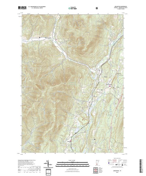
2024 Map of Arlington
USGS Topo · Published 2024About this map
Arlington and its neighboring villages of East Arlington, West Arlington, and Chiselville sit at the confluence of Vermont’s high peaks and the Batten Kill river valley. This modern survey illustrates a landscape where settlement remains closely tied to the water and topography, with roads like River Rd and Sandgate Rd following the natural contours of the valley floor. The eastern portion of the map is dominated by the Green Mountain National Forest, rising sharply toward Big Spruce Mtn, Spruce Peak, and Red Mtn.
Find a feature on this map
88 named features on this map. Tap any name to fly to it.
Don’t see what you’re looking for? This feature index may not catch every label — zoom into the map to look around manually.
Map Details
Editions of this 2024 Arlington Map
This is the sole edition of this map. No revisions or reprints were ever made.
Other maps of this area

1894 · Equinox
USGS Topo · 1:62,500

1895 · Cambridge
USGS Topo · 1:62,500

1896 · Equinox
USGS Topo · 1:62,500

1897 · Hoosick
USGS Topo · 1:62,500

1898 · Cambridge
USGS Topo · 1:62,500

1898 · Bennington
USGS Topo · 1:62,500

1900 · Taconic
USGS Topo · 1:125,000

1900 · Equinox
USGS Topo · 1:62,500

1901 · Cambridge
USGS Topo · 1:62,500

1903 · Mettawee
USGS Topo · 1:125,000