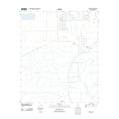
2011 Map of Arlington
USGS Topo · Published 2011About this map
Agricultural development and desert water management define this landscape along the Gila River in Maricopa County. The settlement of Arlington serves as a local hub, anchored by the Arlington Post Office and the industrial activity of the Hassayampa Cotton Gin. The region's transport network is a mix of traditional routes and modern infrastructure, featuring the Southern Pacific Ter railroad and Old US Hwy 80 cutting across the desert plains.
Find a feature on this map
31 named features on this map. Tap any name to fly to it.
Don’t see what you’re looking for? This feature index may not catch every label — zoom into the map to look around manually.
Map Details
Editions of this 2011 Arlington Map
This is the sole edition of this map. No revisions or reprints were ever made.
Other maps of this area

1951 · Cotton Center
USGS Topo · 1:62,500

1951 · Woolsey Peak
USGS Topo · 1:62,500

1954 · Phoenix
USGS Topo · 1:250,000

1957 · Phoenix
USGS Topo · 1:250,000

1958 · Phoenix
USGS Topo · 1:250,000

1958 · Buckeye NW
USGS Topo · 1:24,000

1958 · Hassayampa
USGS Topo · 1:24,000

1958 · Buckeye
USGS Topo · 1:62,500

1960 · Phoenix
USGS Topo · 1:250,000

1962 · Arlington
USGS Topo · 1:62,500