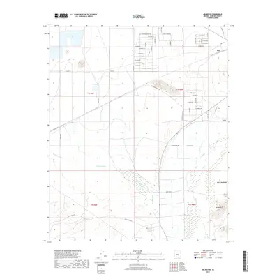
2018 Map of Arlington
USGS Topo · Published 2018About this map
The Gila River meanders through this landscape, defining the southern and eastern edges of the Arlington Valley. This area represents a critical intersection of desert water management and transportation history, featuring the extensive Arlington Canal network that supports local agriculture. The small settlements of Arlington and Dixie serve as focal points for the rural community, situated near the path of the Southern Pacific Trl railroad corridor.
Find a feature on this map
38 named features on this map. Tap any name to fly to it.
Don’t see what you’re looking for? This feature index may not catch every label — zoom into the map to look around manually.
Map Details
Editions of this 2018 Arlington Map
This is the sole edition of this map. No revisions or reprints were ever made.
Other maps of this area

1951 · Cotton Center
USGS Topo · 1:62,500

1951 · Woolsey Peak
USGS Topo · 1:62,500

1954 · Phoenix
USGS Topo · 1:250,000

1957 · Phoenix
USGS Topo · 1:250,000

1958 · Phoenix
USGS Topo · 1:250,000

1958 · Buckeye NW
USGS Topo · 1:24,000

1958 · Hassayampa
USGS Topo · 1:24,000

1958 · Buckeye
USGS Topo · 1:62,500

1960 · Phoenix
USGS Topo · 1:250,000

1962 · Arlington
USGS Topo · 1:62,500