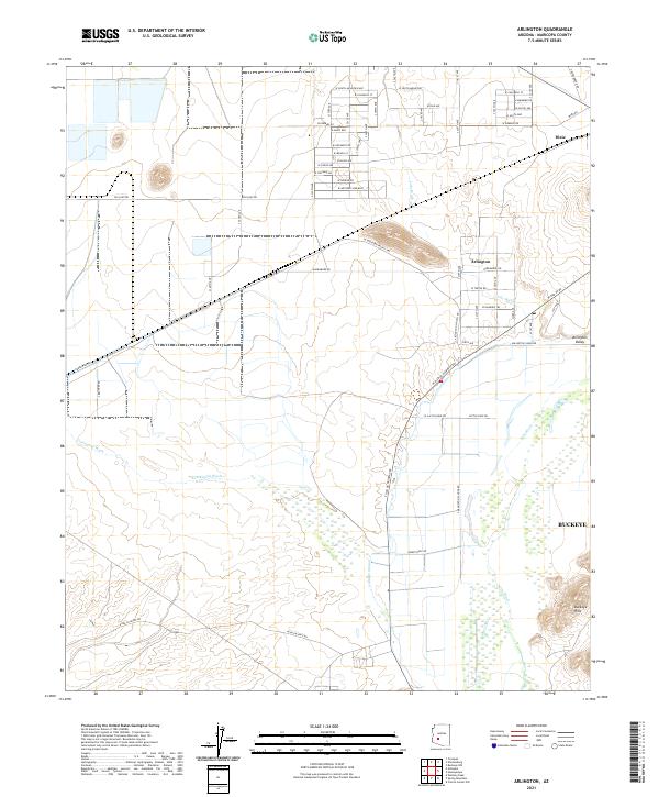
2021 Map of Arlington
USGS Topo · Published 2021About this map
Arlington sits at the heart of this agricultural corridor, where the Arlington Canal and the Gila River shape the local landscape. The map reveals a highly structured grid of section lines and rural routes, such as Agua Caliente Rd and W Old US 80, which serve the small desert settlements of Dixie and the Arlington Valley. This area is defined by its water management systems, essential for sustaining life in the arid flats between the Buckeye Hills and the winding course of the Centennial Wash. The presence of the Southern Pacific Trl indicates the importance of transportation infrastructure in linking these isolated farming communities to the broader region. Farther south, the terrain becomes increasingly complex as the irrigation channels give way to the natural contours of the desert floor near the river's edge.
Find a feature on this map
42 named features on this map. Tap any name to fly to it.
Don’t see what you’re looking for? This feature index may not catch every label — zoom into the map to look around manually.
Map Details
Editions of this 2021 Arlington Map
This is the sole edition of this map. No revisions or reprints were ever made.
Other maps of this area

1951 · Cotton Center
USGS Topo · 1:62,500

1951 · Woolsey Peak
USGS Topo · 1:62,500

1954 · Phoenix
USGS Topo · 1:250,000

1957 · Phoenix
USGS Topo · 1:250,000

1958 · Phoenix
USGS Topo · 1:250,000

1958 · Buckeye NW
USGS Topo · 1:24,000

1958 · Hassayampa
USGS Topo · 1:24,000

1958 · Buckeye
USGS Topo · 1:62,500

1960 · Phoenix
USGS Topo · 1:250,000

1962 · Arlington
USGS Topo · 1:62,500