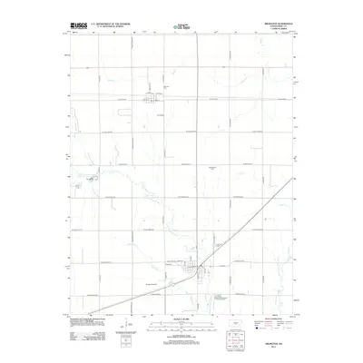
2012 Map of Arlington
USGS Topo · Published 2012About this map
The town of Arlington serves as the southern anchor of this Kansas landscape, situated where the N Fork Ninnescah River and Skinnawah Cr converge. The settlement pattern follows a rigid grid of country roads, including S Bone Springs Rd and W Trail W Rd, which connect the rural community of Abbyville to the north. This 2012 survey illustrates the relationship between the prairie hydrology and local development, showing how Irish Cr and Sugar Cr meander through the agricultural sections. Genealogists and local historians can locate several burial grounds, including Arlington Cem, Abbyville Cem, and the more isolated Westminster Cem. The map also identifies local recreational and civic landmarks such as Camp Kanza and Baughman Field, providing a precise look at the township's layout in the early 21st century.
Find a feature on this map
40 named features on this map. Tap any name to fly to it.
Don’t see what you’re looking for? This feature index may not catch every label — zoom into the map to look around manually.
Map Details
Editions of this 2012 Arlington Map
This is the sole edition of this map. No revisions or reprints were ever made.
Other maps of this area

1892 · Kingman
USGS Topo · 1:125,000

1894 · Kingman
USGS Topo · 1:125,000

1894 · Lyons
USGS Topo · 1:125,000

1955 · Great Bend
USGS Topo · 1:250,000

1955 · Pratt
USGS Topo · 1:250,000

1957 · Great Bend
USGS Topo · 1:250,000

1958 · Great Bend
USGS Topo · 1:250,000

1959 · Pratt
USGS Topo · 1:250,000

1960 · Yaggy
USGS Topo · 1:24,000

1966 · Sterling SW
USGS Topo · 1:24,000