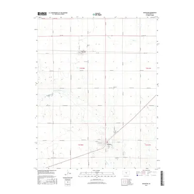
2015 Map of Arlington
USGS Topo · Published 2015About this map
The N Fork Ninnescah River and its various tributaries, including Sugar Cr and Skinnawah Cr, define the drainage patterns of this Reno County landscape. The settlement of Arlington serves as a local hub near the southern edge of the map, featuring a structured street grid with W Main St and E Main St. To the north, the smaller community of Abbyville is positioned along the east-west corridor of Avenue E, reflecting the classic rural Kansas pattern of small agricultural centers spaced along section-line roads.
Find a feature on this map
46 named features on this map. Tap any name to fly to it.
Don’t see what you’re looking for? This feature index may not catch every label — zoom into the map to look around manually.
Map Details
Editions of this 2015 Arlington Map
This is the sole edition of this map. No revisions or reprints were ever made.
Other maps of this area

1892 · Kingman
USGS Topo · 1:125,000

1894 · Kingman
USGS Topo · 1:125,000

1894 · Lyons
USGS Topo · 1:125,000

1955 · Great Bend
USGS Topo · 1:250,000

1955 · Pratt
USGS Topo · 1:250,000

1957 · Great Bend
USGS Topo · 1:250,000

1958 · Great Bend
USGS Topo · 1:250,000

1959 · Pratt
USGS Topo · 1:250,000

1960 · Yaggy
USGS Topo · 1:24,000

1966 · Sterling SW
USGS Topo · 1:24,000