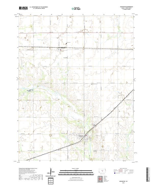
2022 Map of Arlington
USGS Topo · Published 2022About this map
Arlington and Abbyville anchor this section of Reno County, illustrating a landscape defined by the drainage of the N Fork Ninnescah River. The river and its tributaries, including Skinnawah Cr, Sugar Cr, and Irish Cr, meander through a grid of section roads that follow the Public Land Survey System township boundaries. Local history is preserved in small communal sites such as the Abbyville Cem, Westminster Cem, and Arlington Cem, which sit at various intervals across the prairie. The map details the residential layout of Arlington along Broadway St and S Algona St, while Abbyville is concentrated near Avenue E and Ave F. The spatial arrangement of these small towns and their outlying cemeteries highlights the agricultural development of the region, where roads like Trail West Rd and Greenfield Rd connect the dispersed farmsteads to the municipal centers.
Find a feature on this map
44 named features on this map. Tap any name to fly to it.
Don’t see what you’re looking for? This feature index may not catch every label — zoom into the map to look around manually.
Map Details
Editions of this 2022 Arlington Map
This is the sole edition of this map. No revisions or reprints were ever made.
Other maps of this area

1892 · Kingman
USGS Topo · 1:125,000

1894 · Kingman
USGS Topo · 1:125,000

1894 · Lyons
USGS Topo · 1:125,000

1955 · Great Bend
USGS Topo · 1:250,000

1955 · Pratt
USGS Topo · 1:250,000

1957 · Great Bend
USGS Topo · 1:250,000

1958 · Great Bend
USGS Topo · 1:250,000

1959 · Pratt
USGS Topo · 1:250,000

1960 · Yaggy
USGS Topo · 1:24,000

1966 · Sterling SW
USGS Topo · 1:24,000