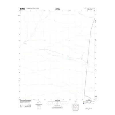
2011 Map of Armenta Well
USGS Topo · Published 2011About this map
Armenta Well serves as a lone point of human settlement in this arid reach of Pima County, positioned within a landscape defined by ephemeral drainage networks. The map details the intricate patterns of Kuakatch Wash and Cuerda de Lena as they weave across the desert floor toward the northern boundaries of Organ Pipe Cactus Natl Monument. In the northeast corner, the presence of Gunsight Wash provides a distinct geographic marker near the modern roadway. This 2011 survey reflects the enduring spatial relationship between vital water sources like the well and the natural desert washes that dictate the terrain's layout in this protected region of southern Arizona.
Find a feature on this map
5 named features on this map. Tap any name to fly to it.
Don’t see what you’re looking for? This feature index may not catch every label — zoom into the map to look around manually.
Map Details
Editions of this 2011 Armenta Well Map
This is the sole edition of this map. No revisions or reprints were ever made.
Other maps of this area

1932 · Ajo
USGS Topo · 1:62,500

1934 · Ajo
USGS Topo · 1:62,500

1953 · Ajo
USGS Topo · 1:250,000

1957 · Ajo
USGS Topo · 1:250,000

1958 · Ajo
USGS Topo · 1:250,000

1962 · Ajo
USGS Topo · 1:250,000

1963 · Ajo
USGS Topo · 1:250,000

1963 · Ajo
USGS Topo · 1:62,500

1963 · Sikort Chuapo Mts
USGS Topo · 1:62,500

1963 · Mt. Ajo
USGS Topo · 1:62,500