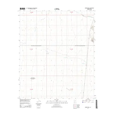
2014 Map of Armenta Well
USGS Topo · Published 2014About this map
Organ Pipe Cactus National Monument dominates the Sonoran desert landscape in this portion of Pima County, where drainage patterns define the arid environment. The map centers on the namesake Armenta Well, a critical water point for ranching and travel in this remote corridor. Several major seasonal watercourses, including Gunsight Wash, Cuerda de Lena, and Kuakatch Wash, carve through the terrain, indicating the flow of water from the Gunsight Hills in the northeast. The presence of Az-85 running north-to-south provides a primary modern artery through this historic borderlands region, illustrating the intersection of protected federal lands and state infrastructure.
Find a feature on this map
7 named features on this map. Tap any name to fly to it.
Don’t see what you’re looking for? This feature index may not catch every label — zoom into the map to look around manually.
Map Details
Editions of this 2014 Armenta Well Map
This is the sole edition of this map. No revisions or reprints were ever made.
Other maps of this area

1932 · Ajo
USGS Topo · 1:62,500

1934 · Ajo
USGS Topo · 1:62,500

1953 · Ajo
USGS Topo · 1:250,000

1957 · Ajo
USGS Topo · 1:250,000

1958 · Ajo
USGS Topo · 1:250,000

1962 · Ajo
USGS Topo · 1:250,000

1963 · Ajo
USGS Topo · 1:250,000

1963 · Ajo
USGS Topo · 1:62,500

1963 · Sikort Chuapo Mts
USGS Topo · 1:62,500

1963 · Mt. Ajo
USGS Topo · 1:62,500